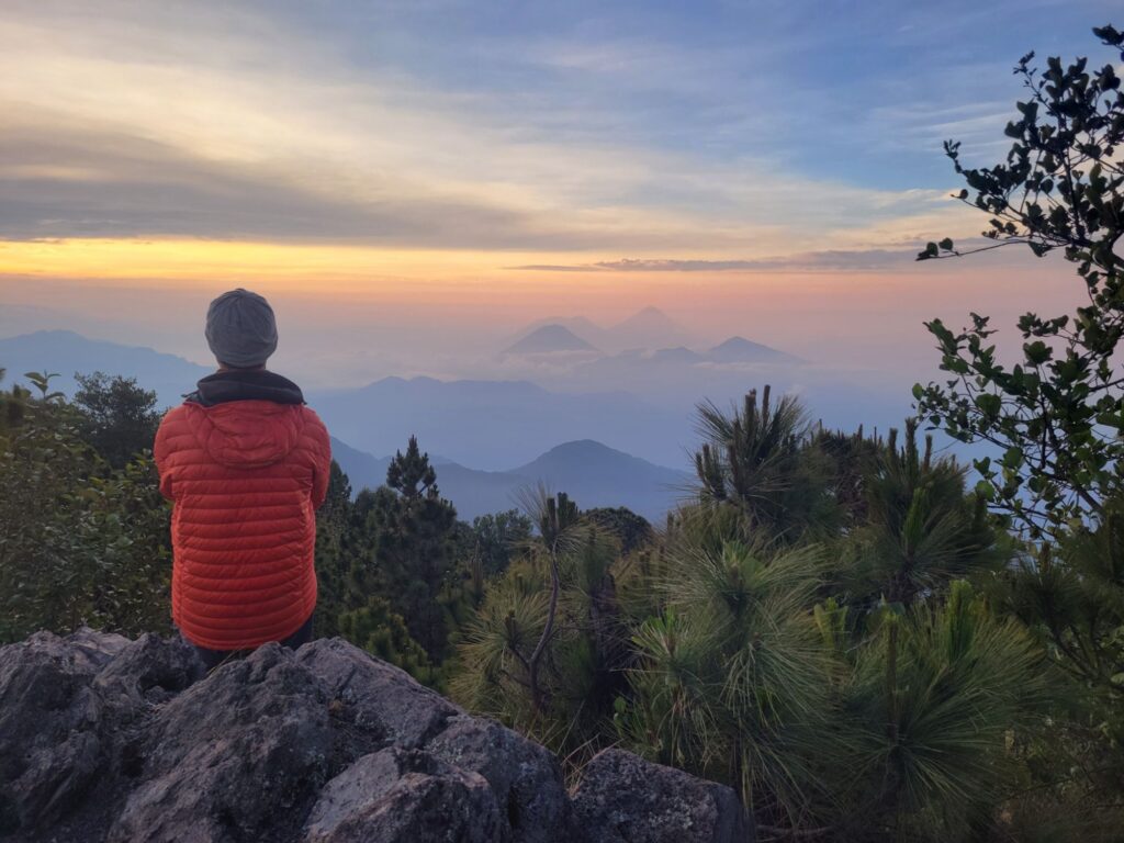
El camino sube por una cresta desde el pueblo de Zunil. Las nubes me impidieron disfrutar de las vistas pero las aves llenaban el bosque de mil cantos. Acampé al pie de la cumbre para evitar relámpagos.
El amanecer fue espectacular, con vistas a los volcanes del Lago Atitlán, Quetzaltenango y las fumarolas del Volcán Santiaguito.
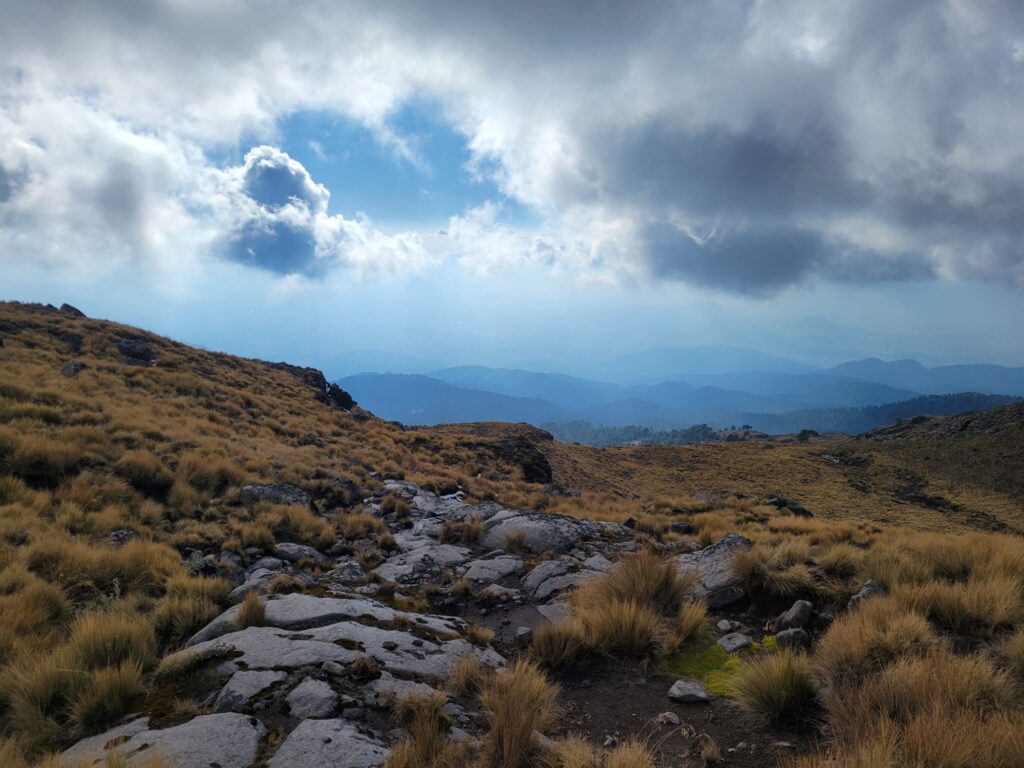
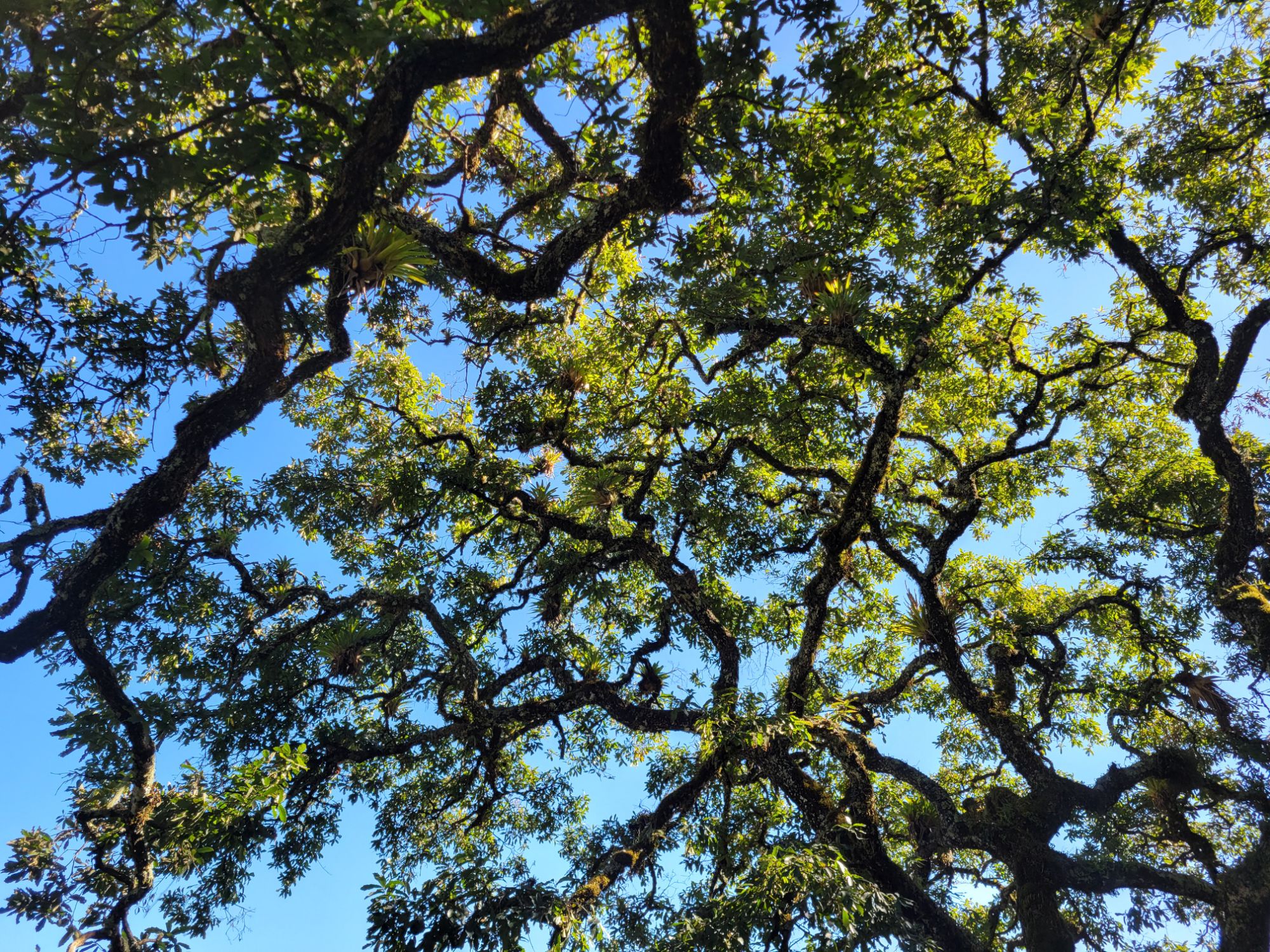
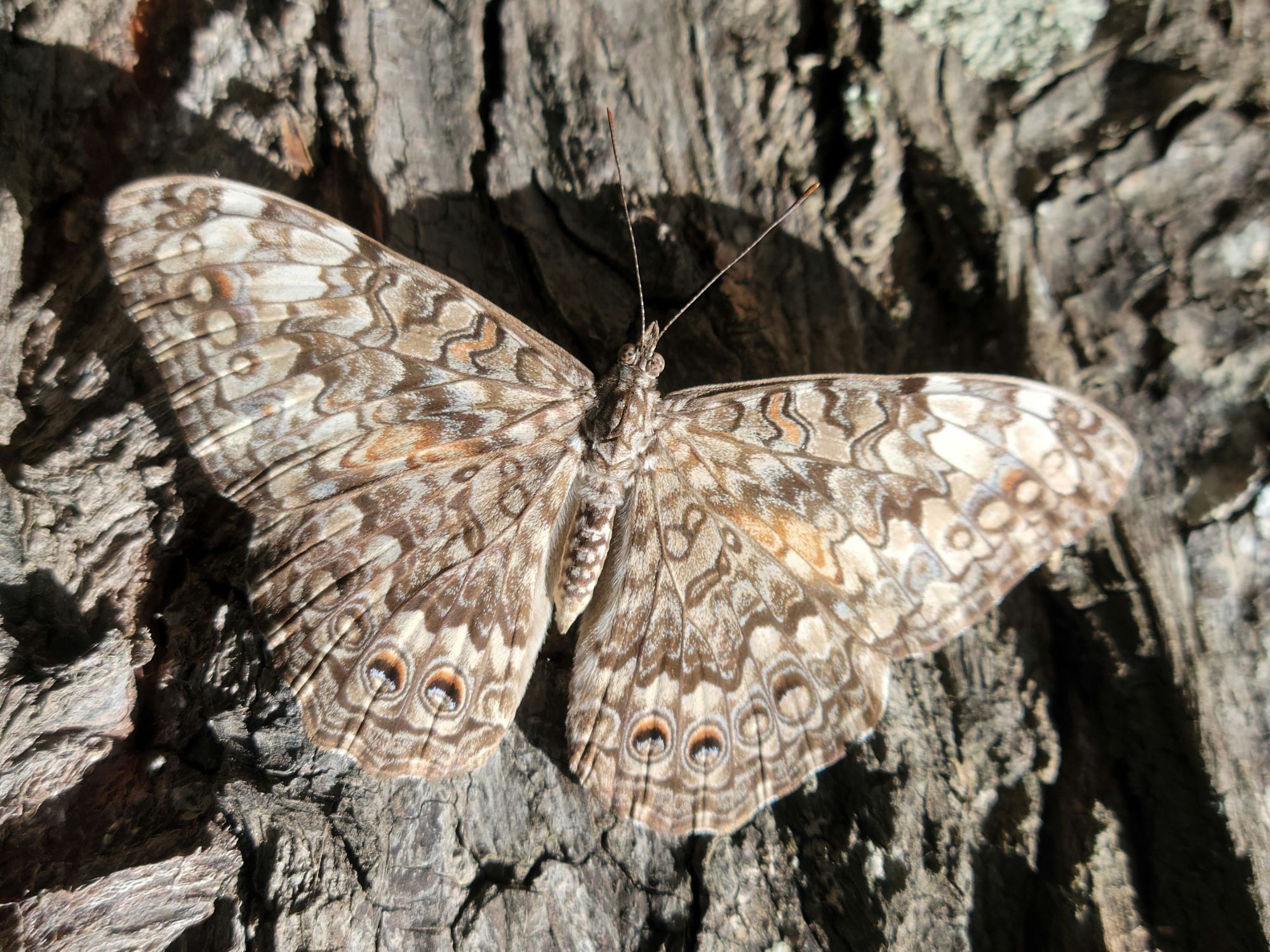
La bajada sigue por un bosque nuboso hermoso dónde pude observar 2 estrellas de la región: el trogón mexicano (primo barato del quetzal) y la reineta rosada.
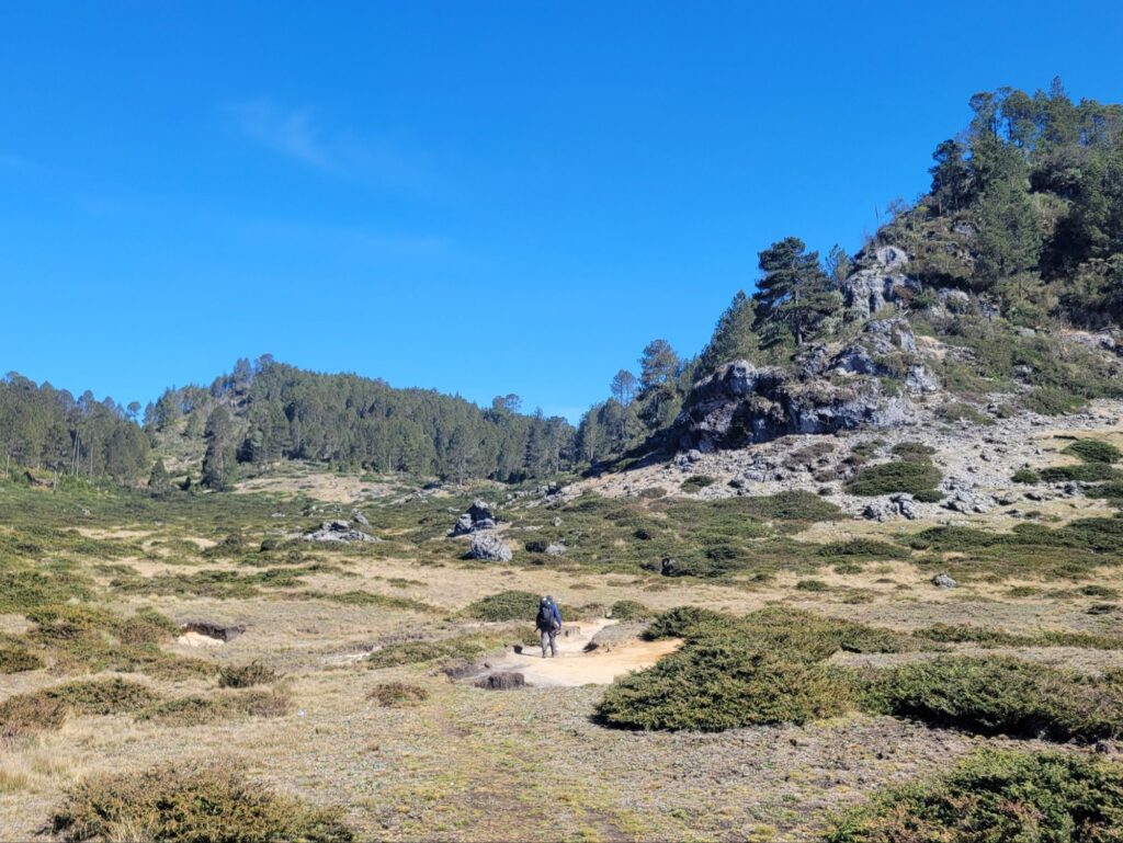
El camino sigue hasta el Cerro Pecul pero baje directamente a las aguas termales de Fuentes Georginas. De ahí, no hay transporte entonces pedí un aventón a un pickup.
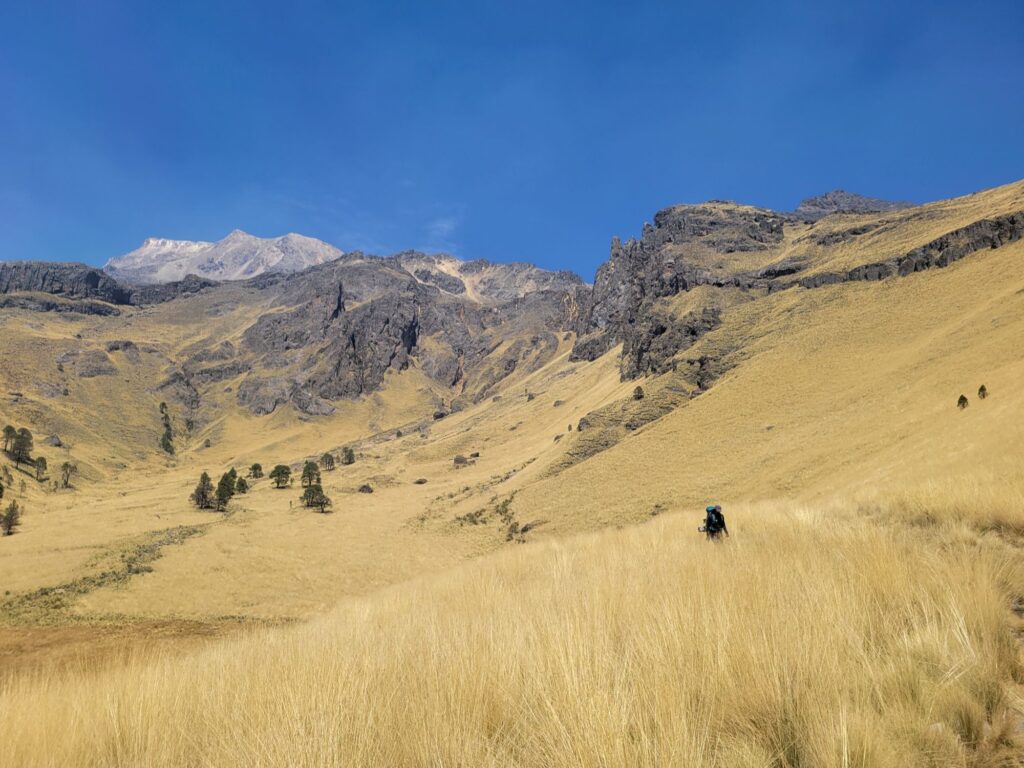
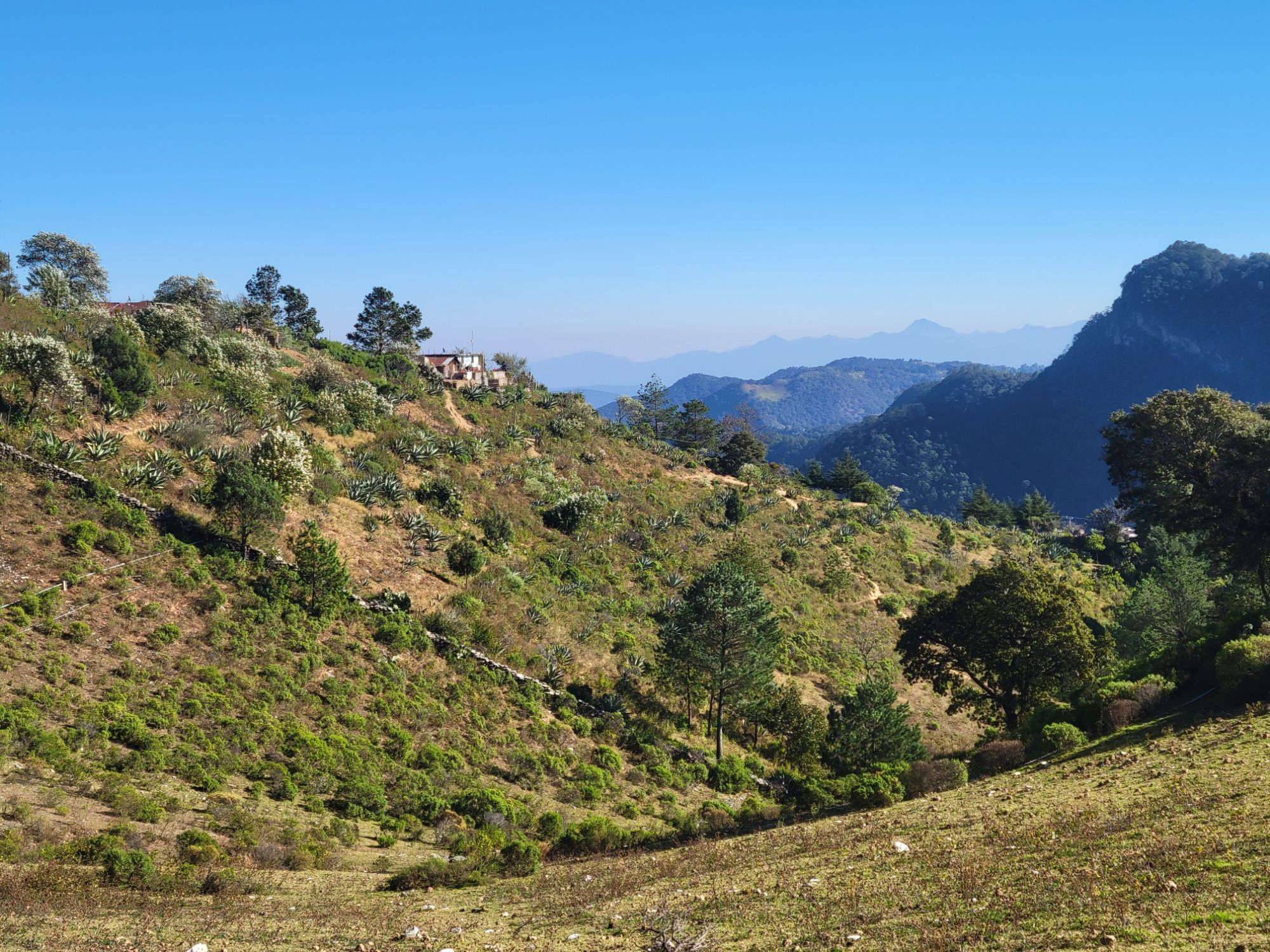
La caminata que más me hacia ilusión en Guatemala, porque era una travesía de varios días, me decepcionó un poco. El altiplano entre Chuatuj y Pajuil País es bonito pero no me valió tanta compilación.
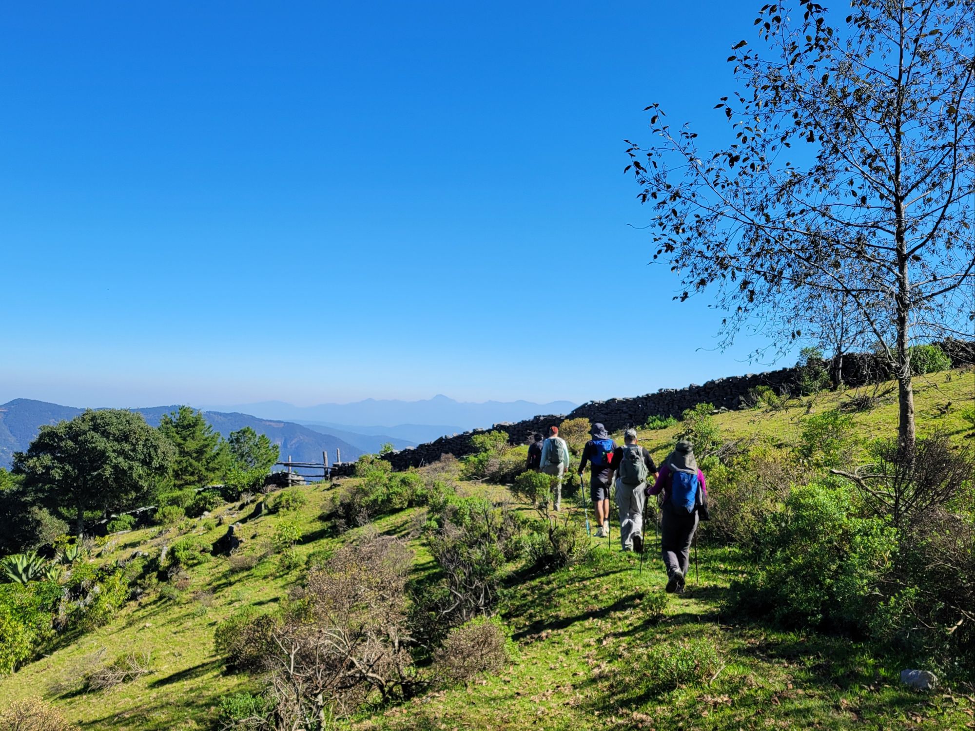
Contraté los excelentes servicios de Jacinto Brito, no porque el camino fuera complicado sino porque el aislamiento, los 36 años de guerra civil y el extractivismo gringo crearon un contexto social muy complejo.
Caímos los 2 enfermos de algún virus griposo y cancelamos la caminata antes de llegar al altiplano de Todos Santos.
Al tener que salir de México para renovar mi visado, descubrí que el vuelo más barato también me llevaba a buenos senderos, esta vez en Guatemala.
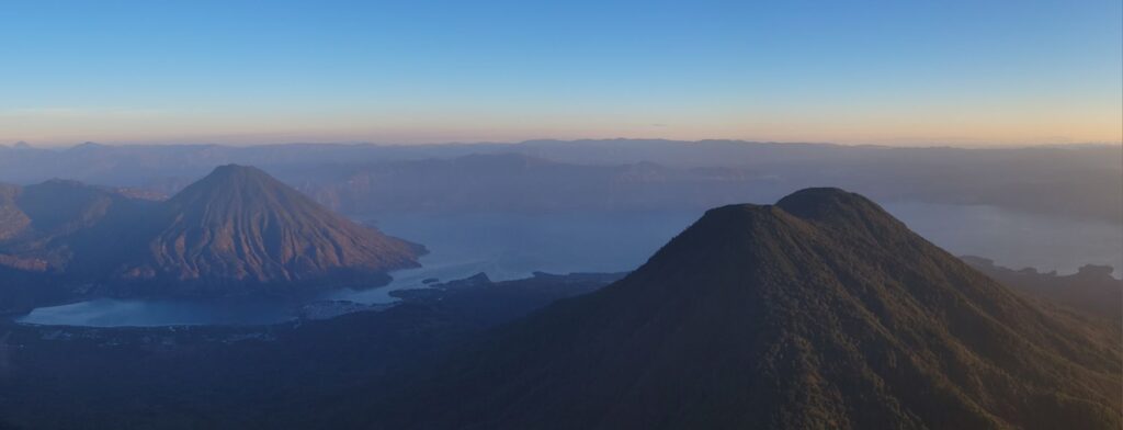
Los volcanes Atitlán y Tolimán bordan la orilla sur del Lago Atitlán, menos turística que la orilla norte.
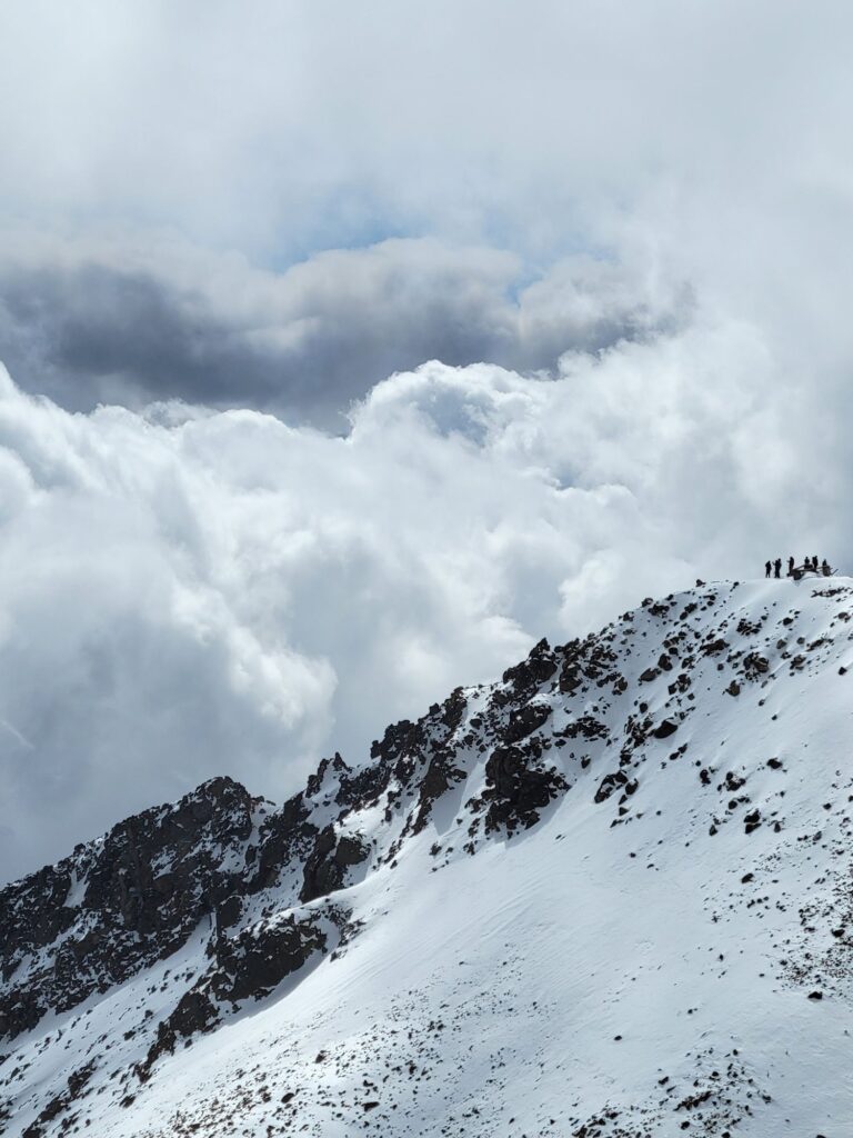
El sendero está bien marcado pero extremamente empinado. Nunca había subido 1000 m de desnivel con una pendiente de 50% y mis cuádriceps todavía se recuerdan, una semana después…
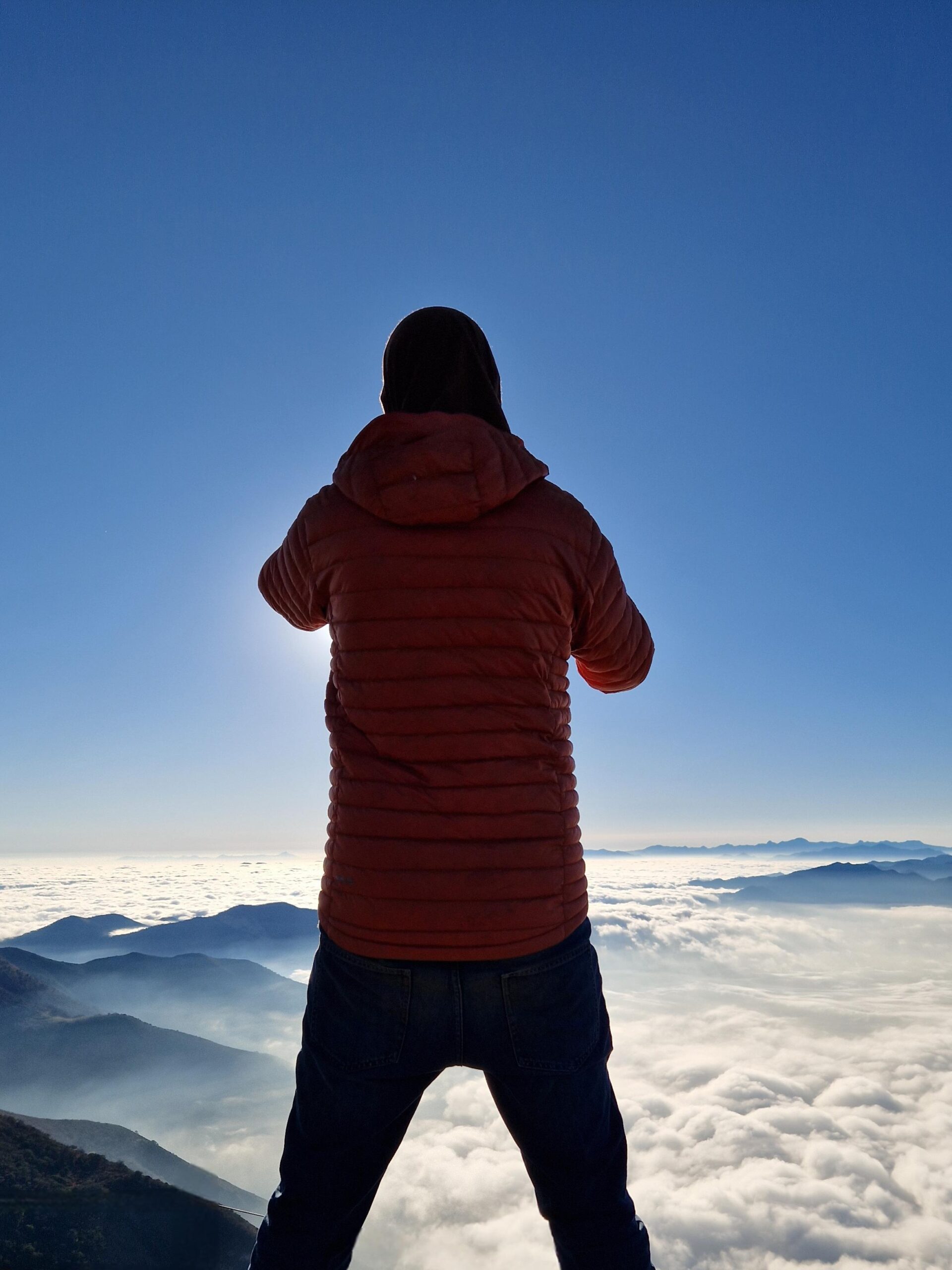
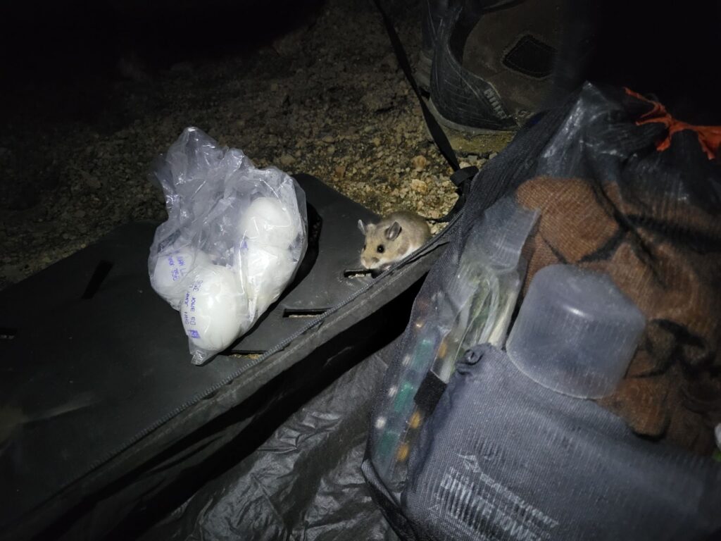
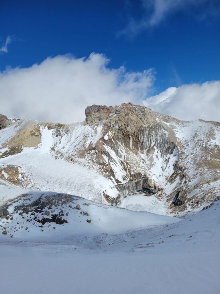
Después acampar en el cráter entre fumarolas de vapor, tuve suerte al disfrutar de un amanecer totalemente despejado por unas horas. Al día siguiente, las nubes pintaban claroscuros de azul entre sombras de volcanes.
Sospecho que el otro camino de subida, desde la reserva Tepepul en Santiago, ofrece mejores vistas, por un bosque dónde se avistan quetzales y una pendiente promedia de “sólo” 30%.
Último paisaje de esta ruta mítica, sin camino marcado y en terreno muy rudo, que quería hacer hace tiempo. Cumplida en 2 días para 25 km con la nueva pero excelente compañía de Pablo.
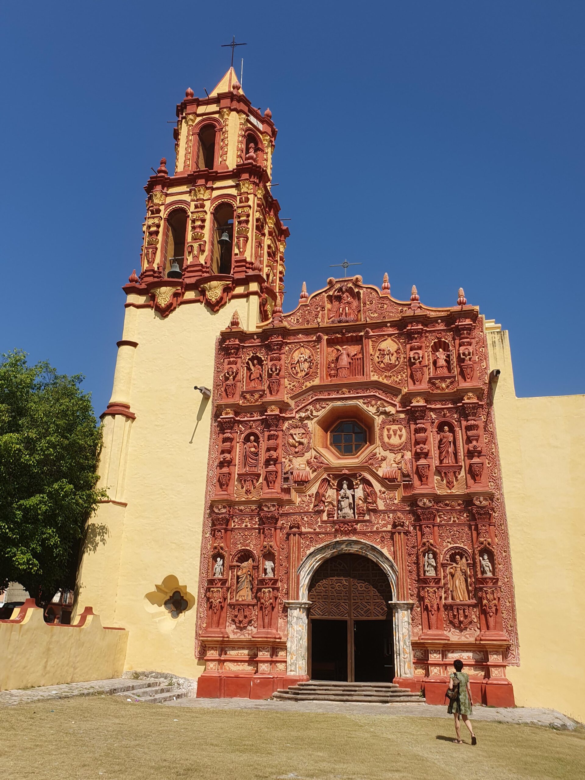
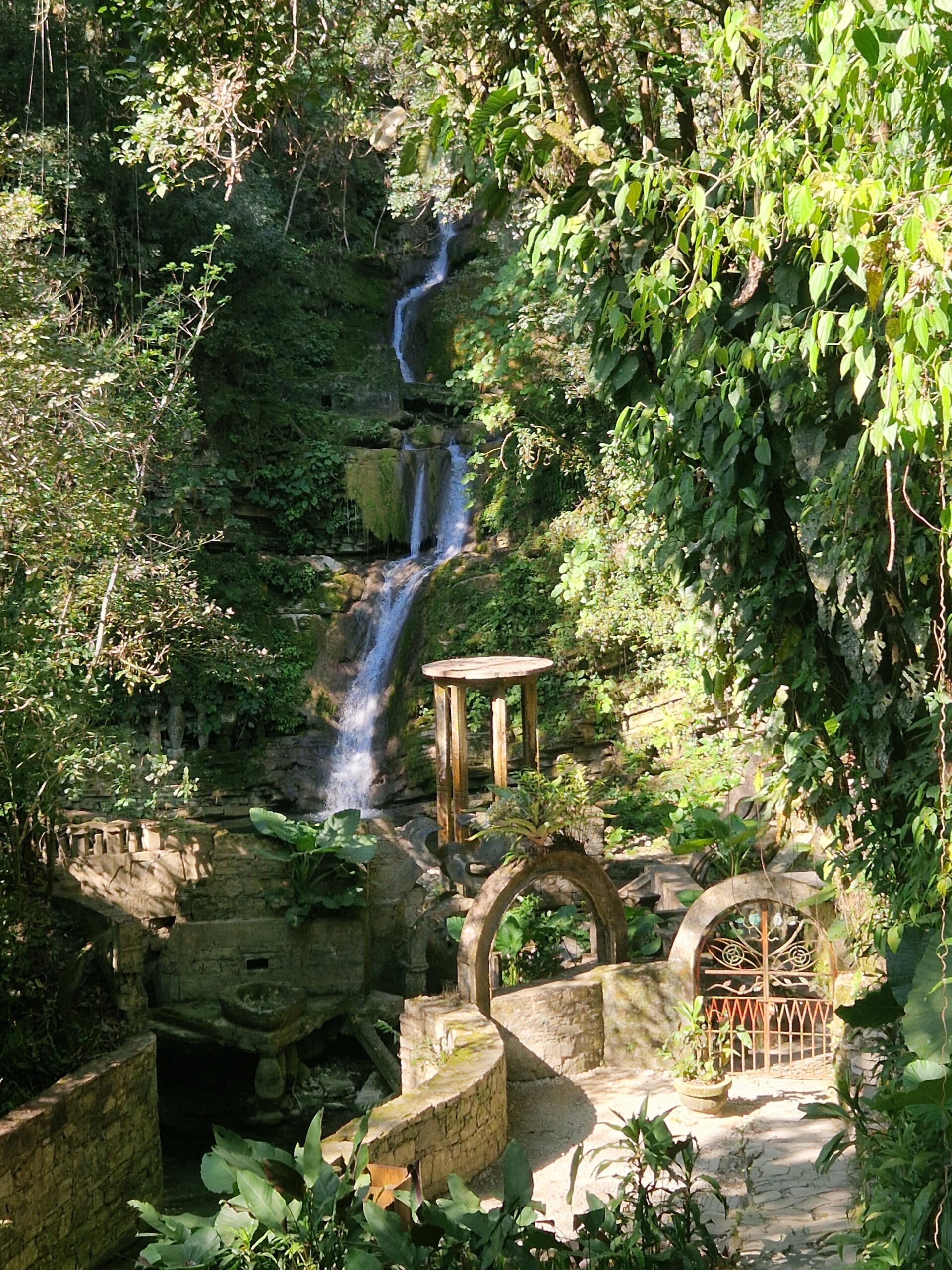
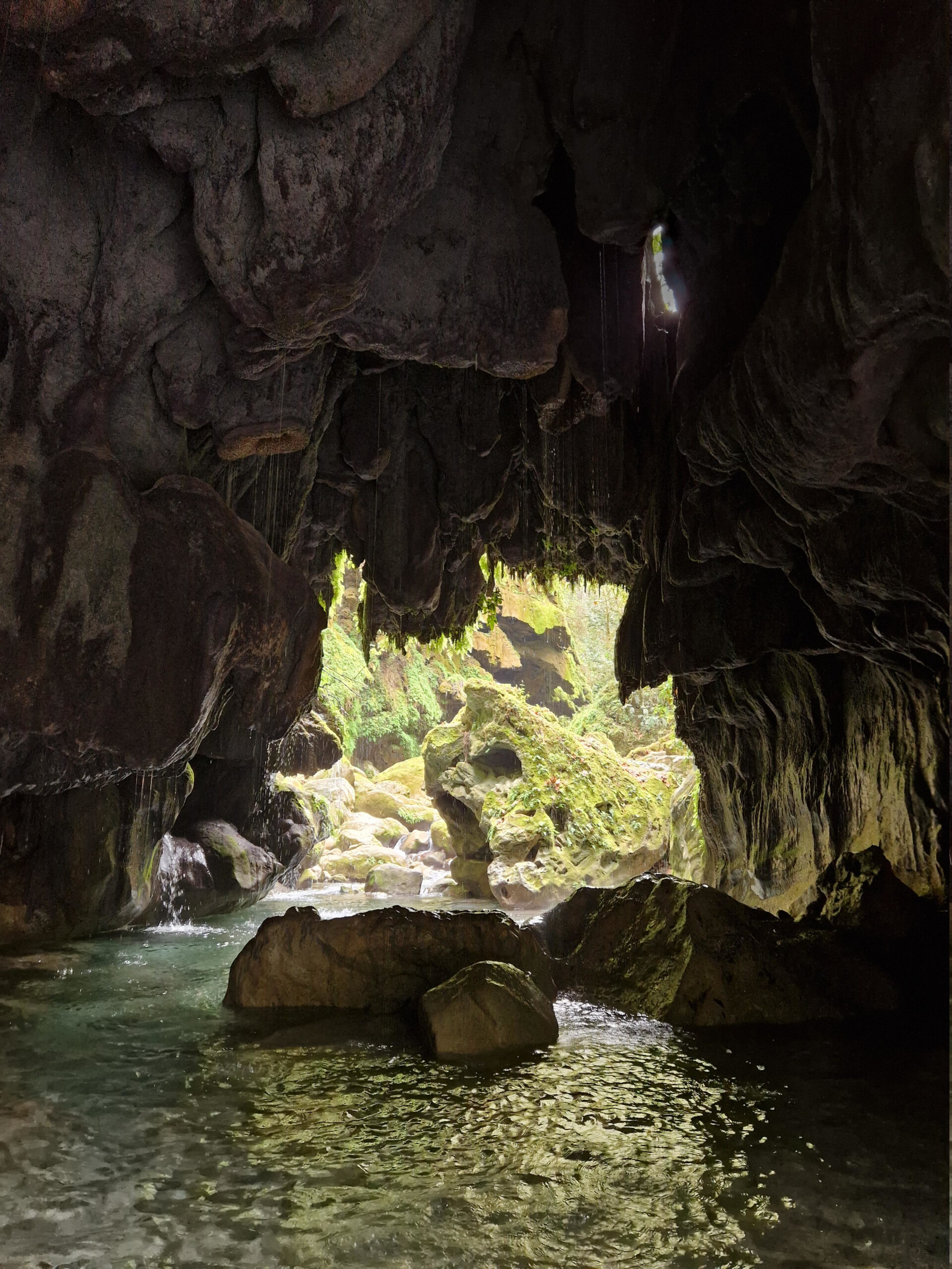
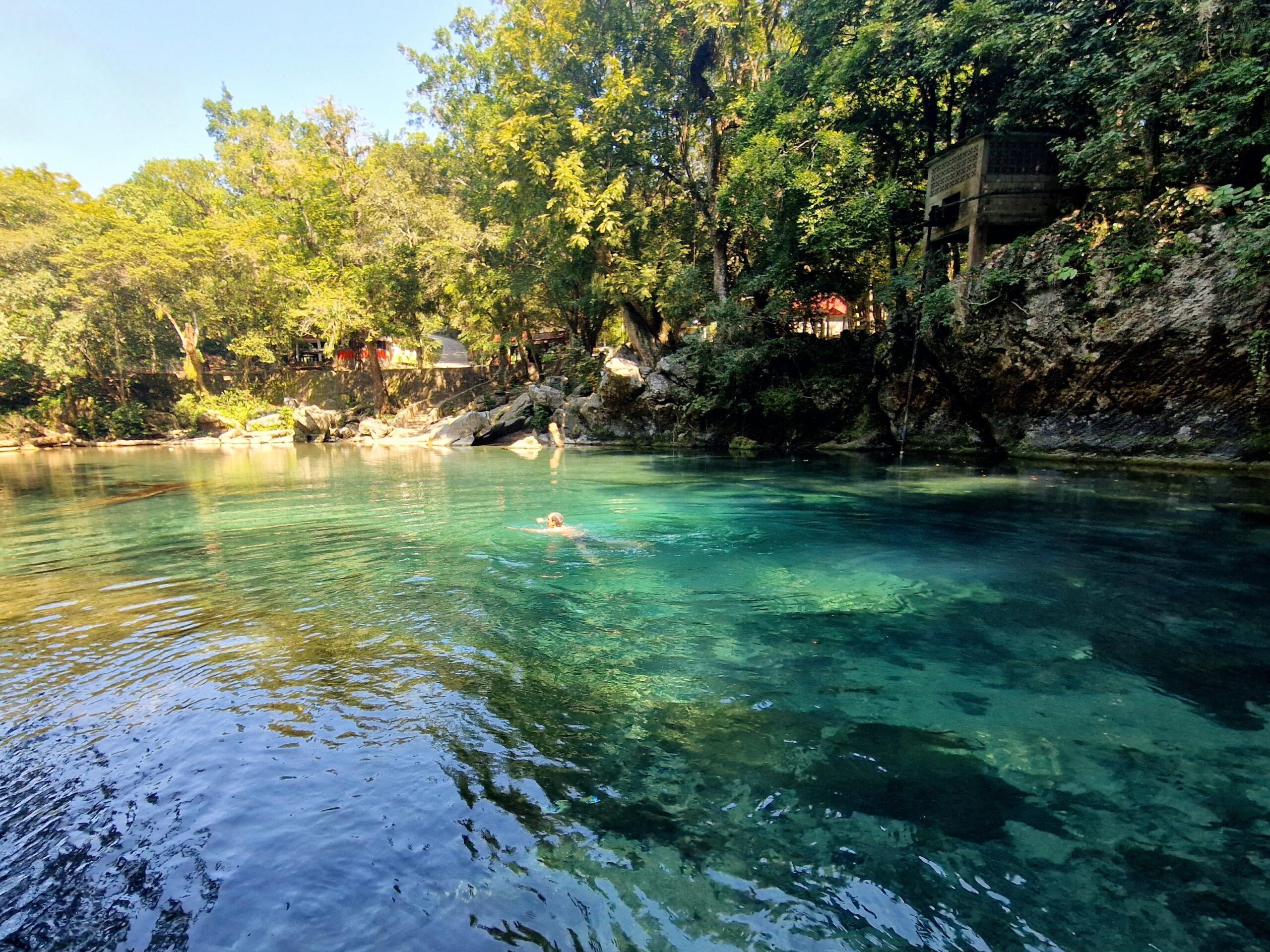
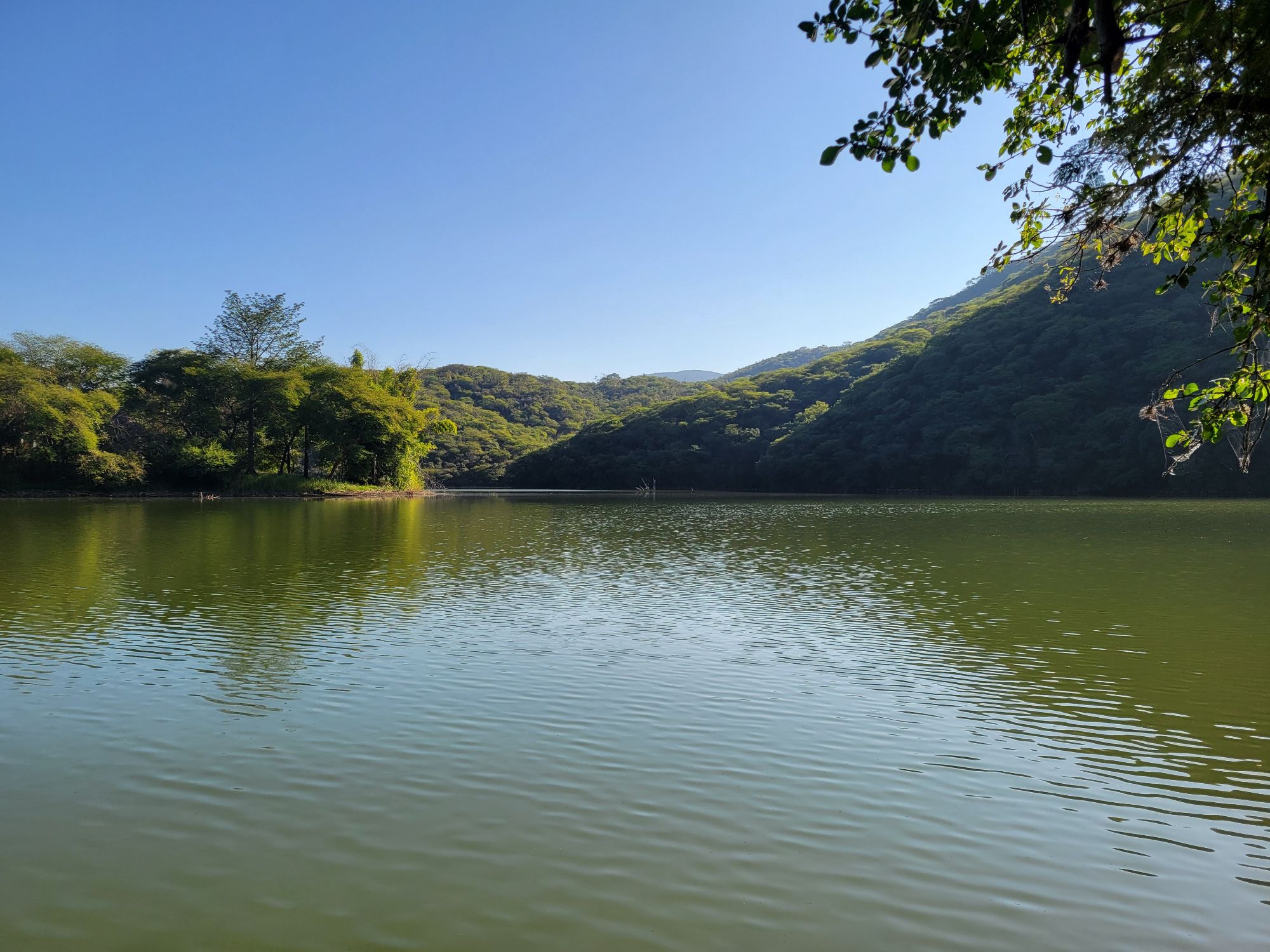
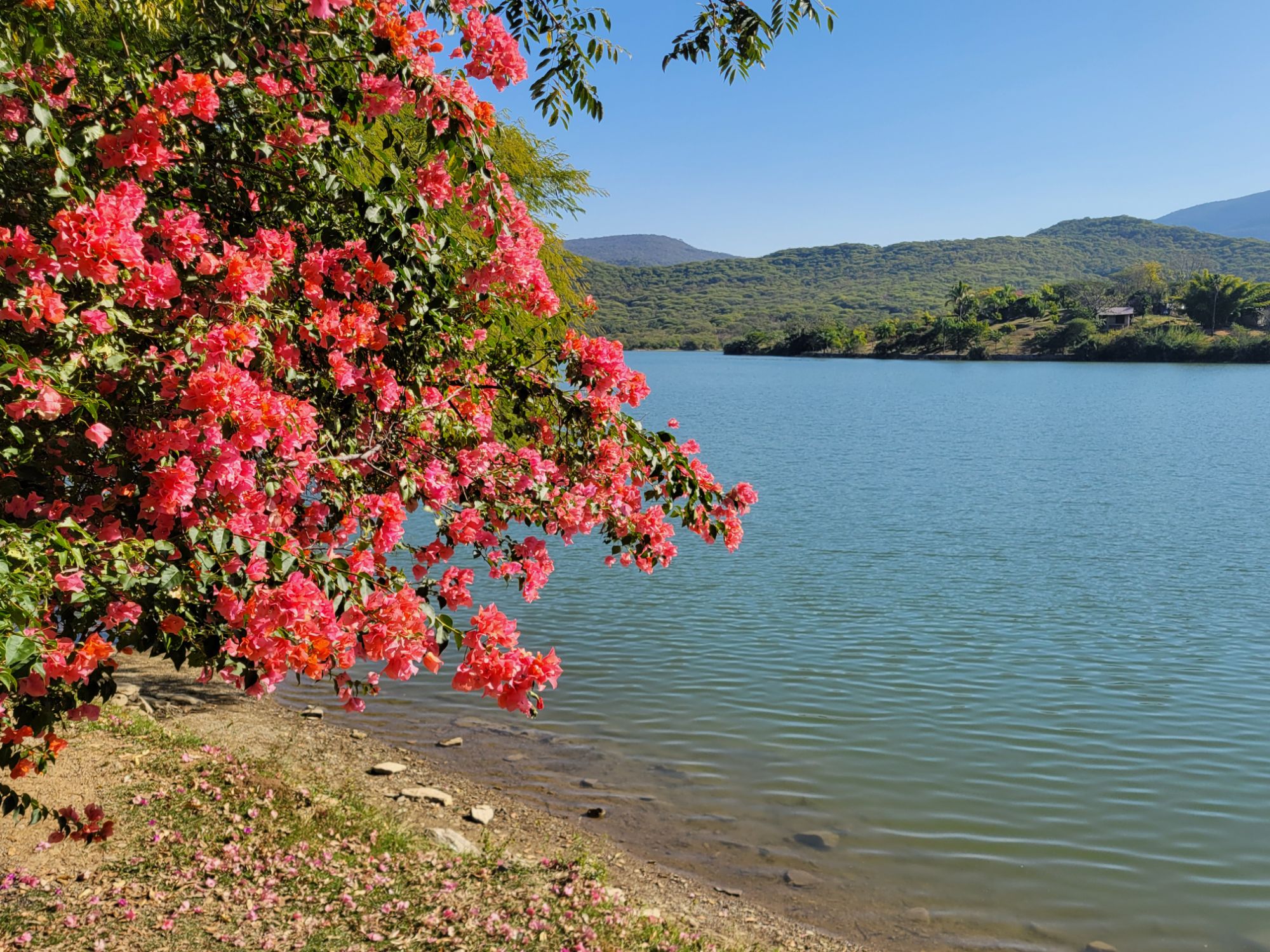
Aprovechamos para visitar lugares complementarios a los que cruce caminando en diciembre: el amanecer en Cuatro Palos, las cascadas del Chuveje, la presa de Jalpan, la misión de Landa de Matamoros, el jardín surrealista de Edward James en Xilitla, la cueva de Puente de Dios y el nacimento de Huichihuayán.
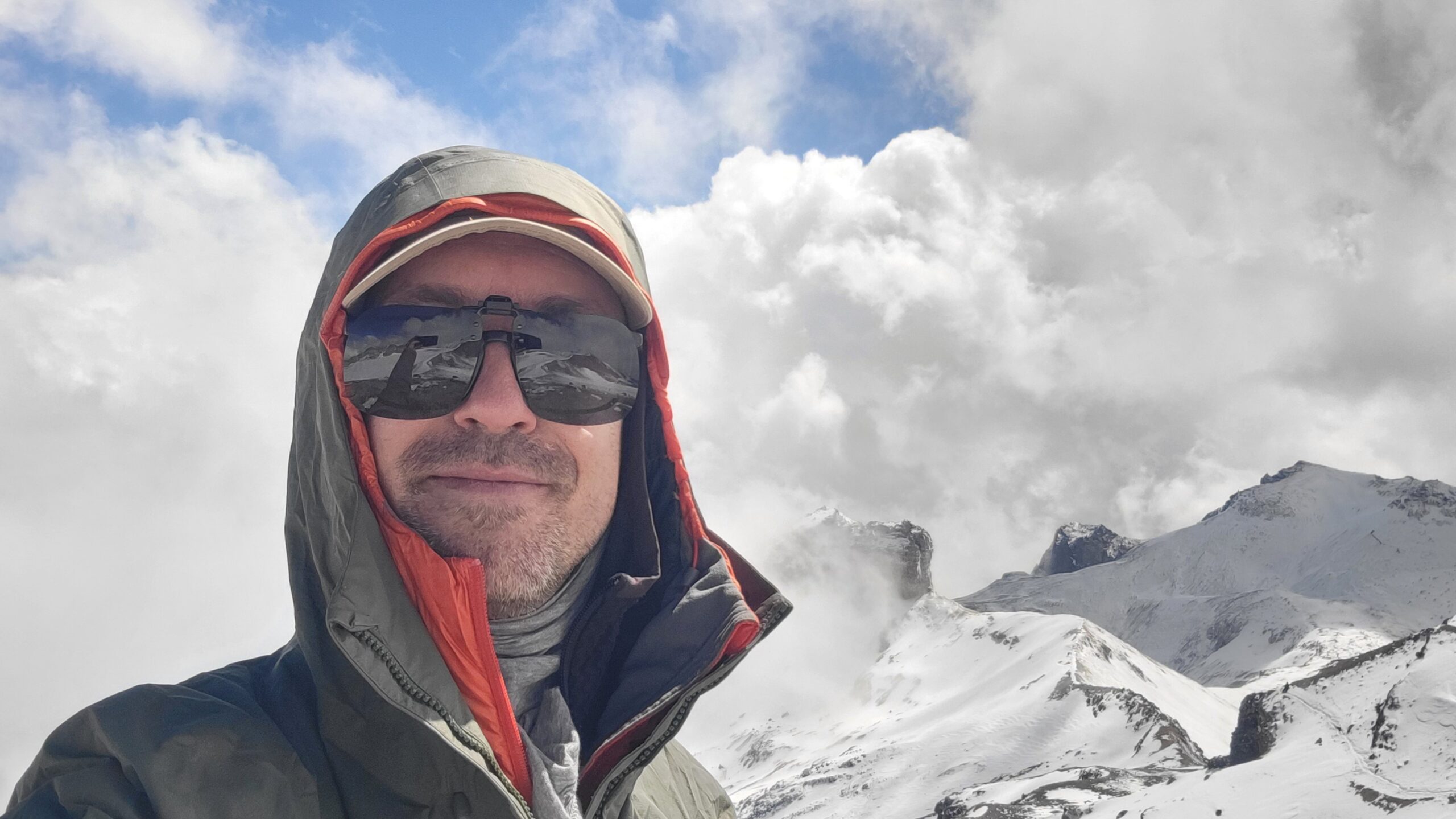
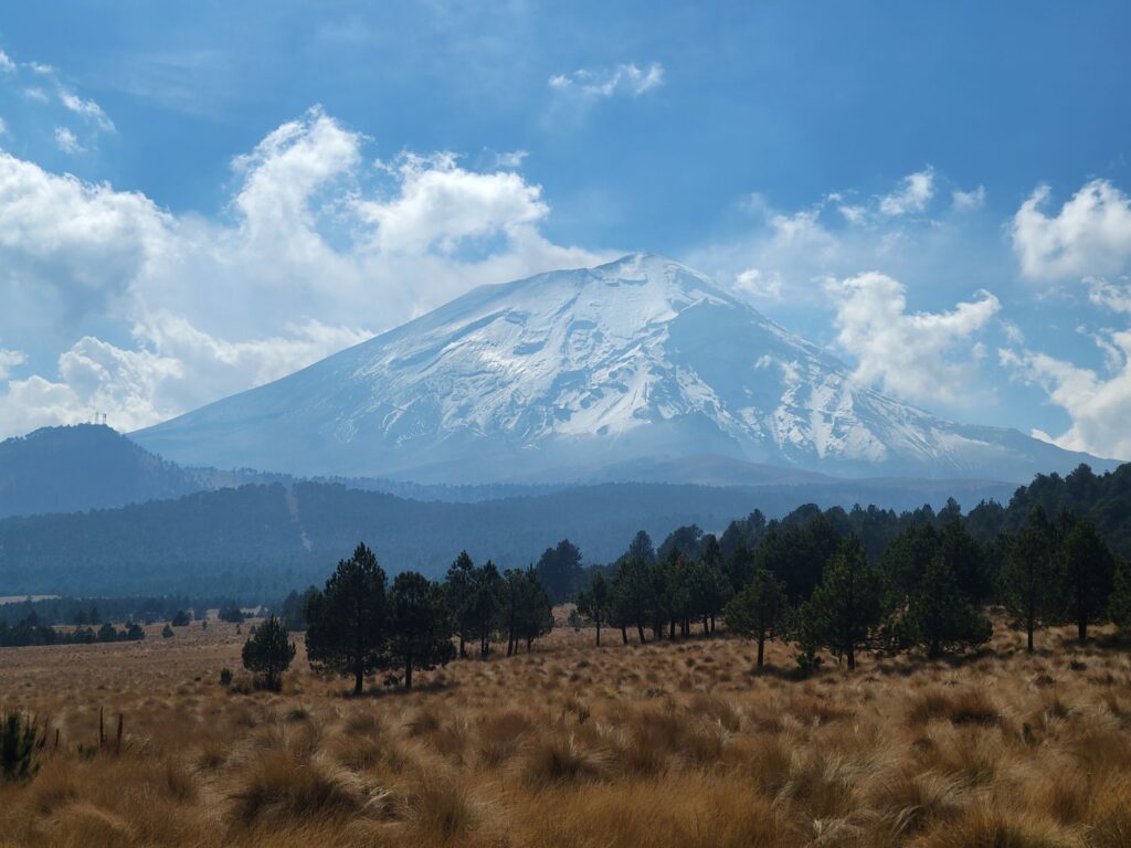
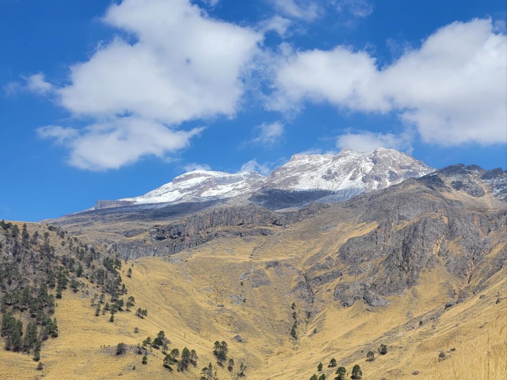
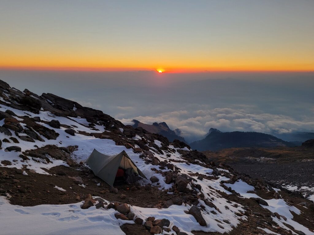
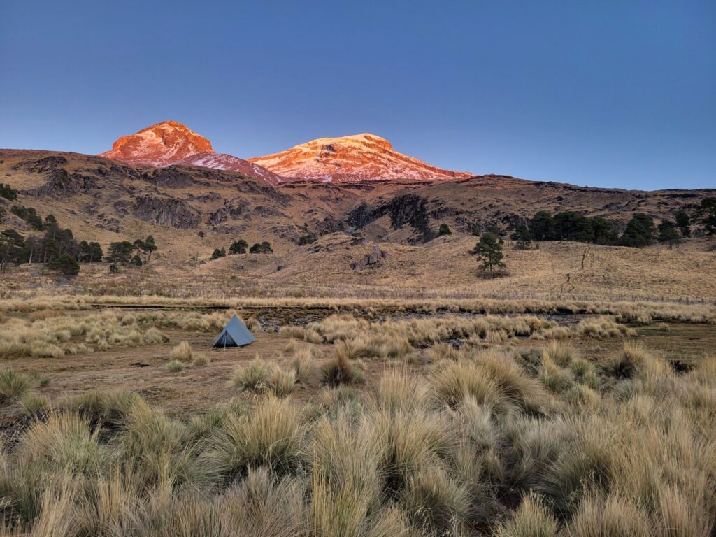
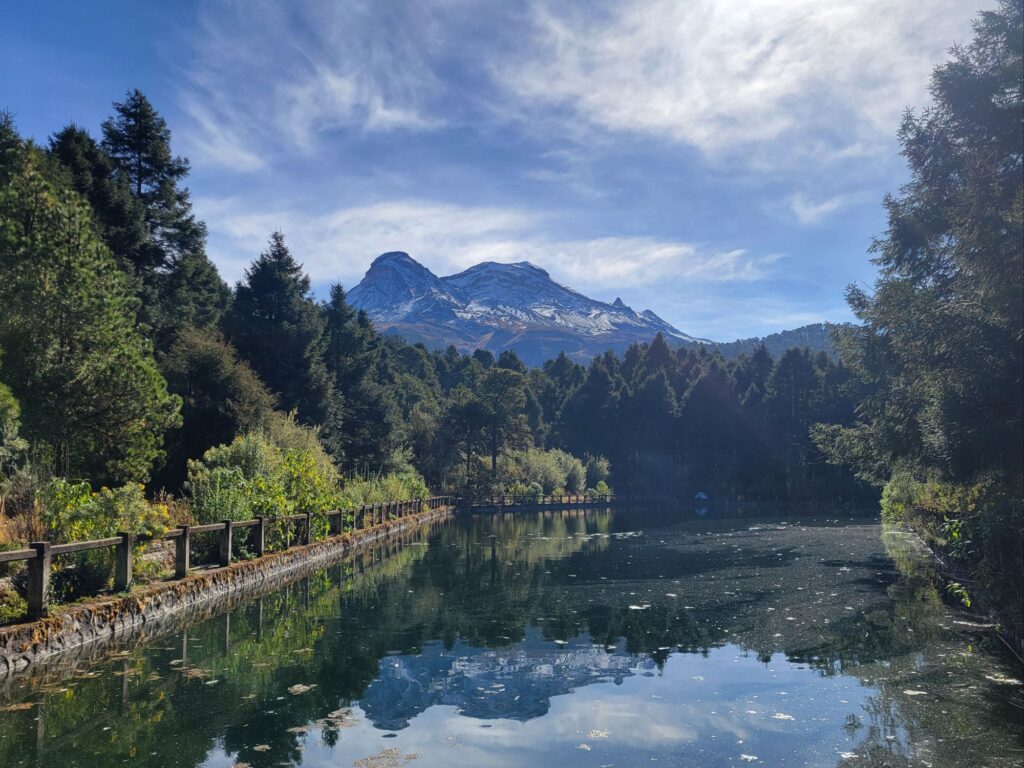
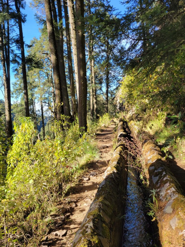
Aproveché un finde de semana de 3 días y las recientes nevadas para realizar mi mejor ruta en los volcanes hasta el momento, pasando por todos mis lugares favoritos del parque.
Primer dia: bus hasta Amecameca y combi hasta el Paso de Cortes. Noche en el Refugio de los Cien.
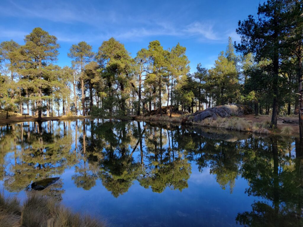
Segundo día: cumbre sin desvelar (5230 m), bajada del Ayoloco por la nieve y navegación GPS entre nubes hasta los manantiales de Nahualac.
Tercer día: desayuno en la laguna Nahualac y bajada por Nexcolango y la Cascada de los Diamantes hasta San Rafael.
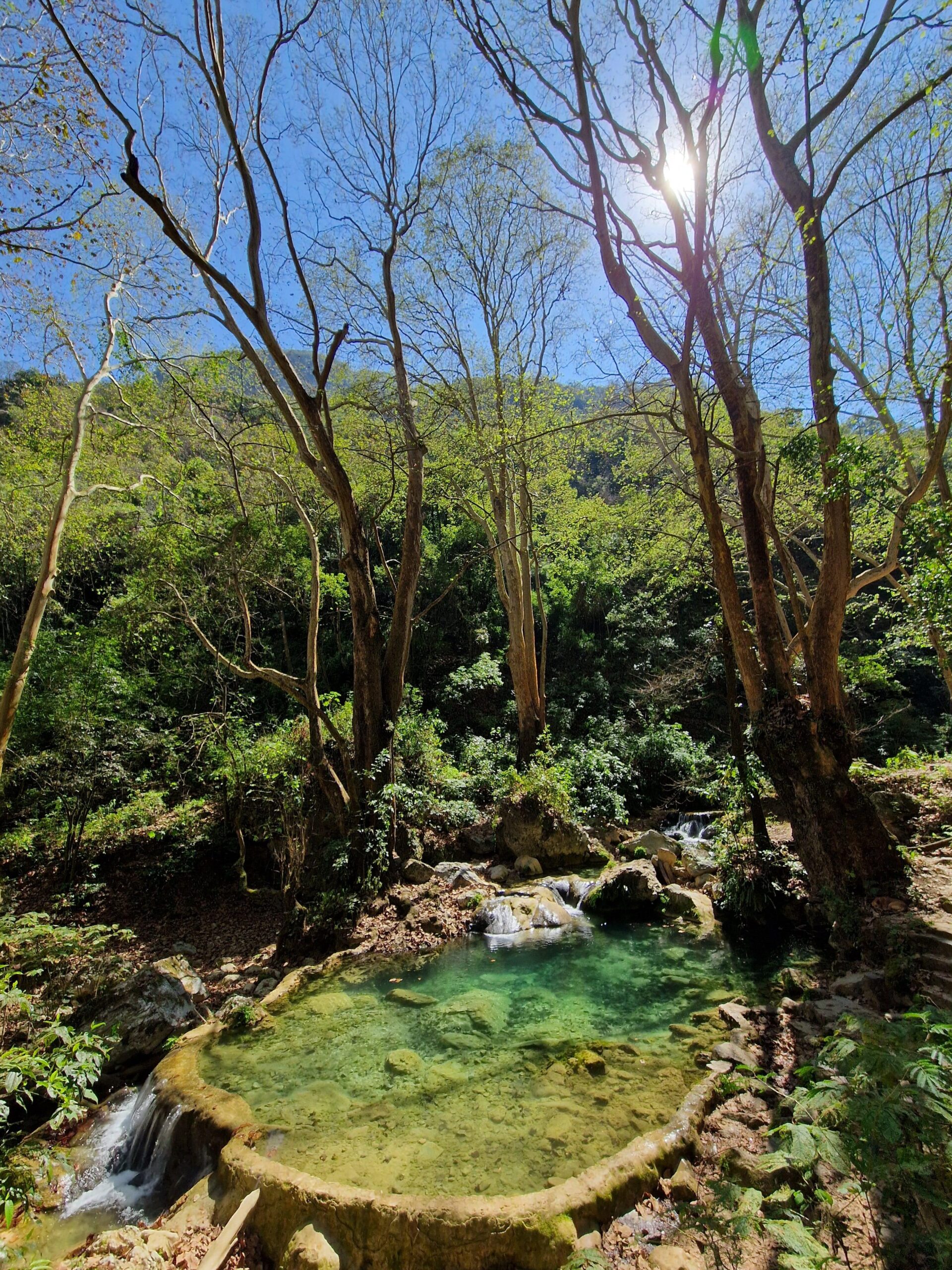
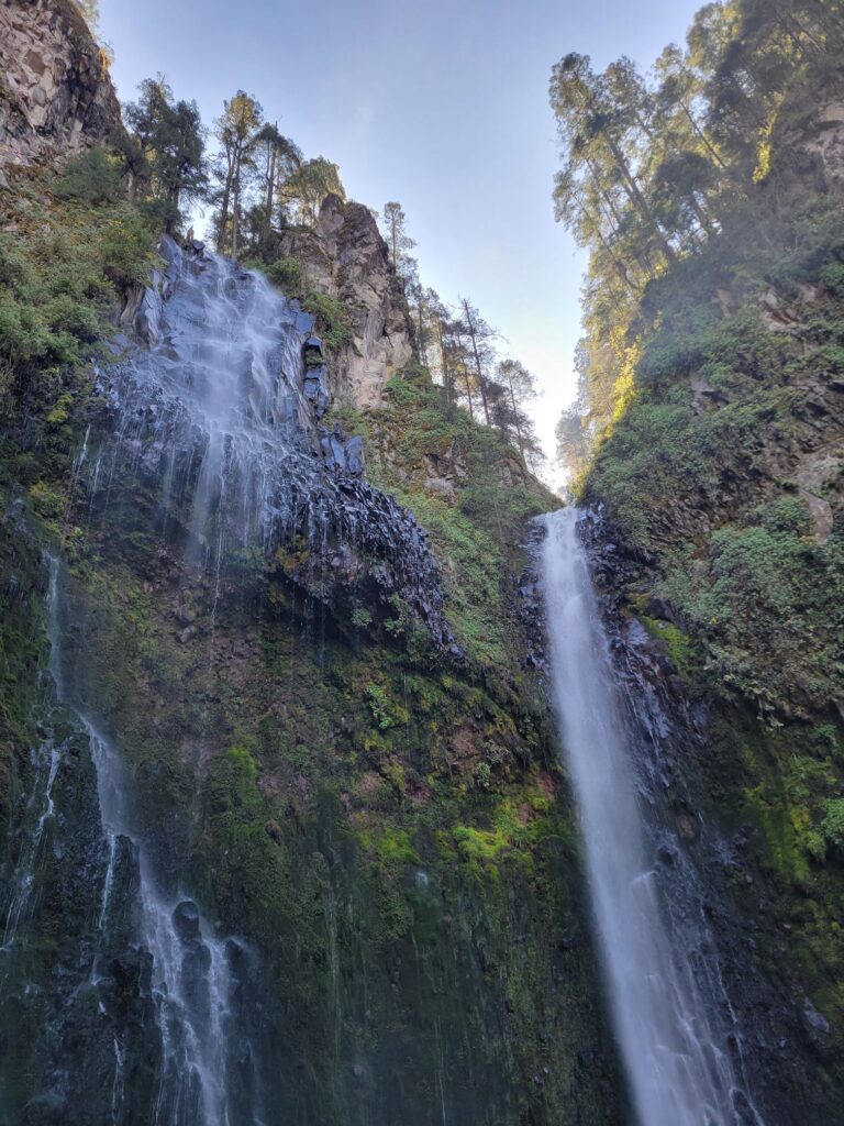
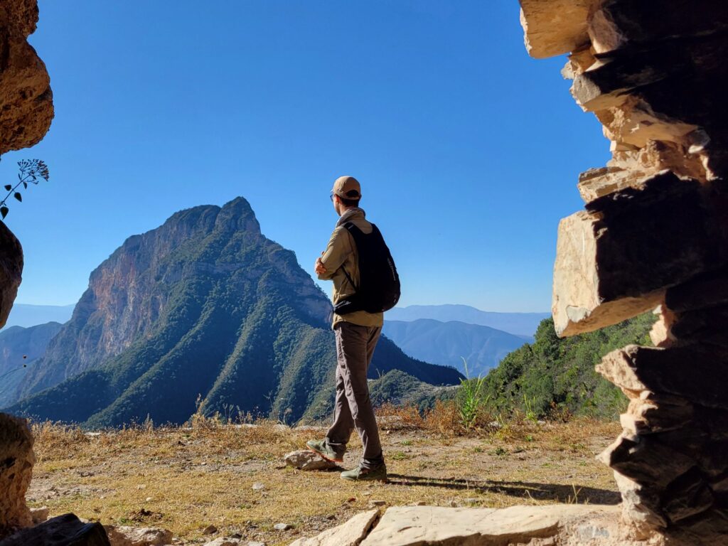
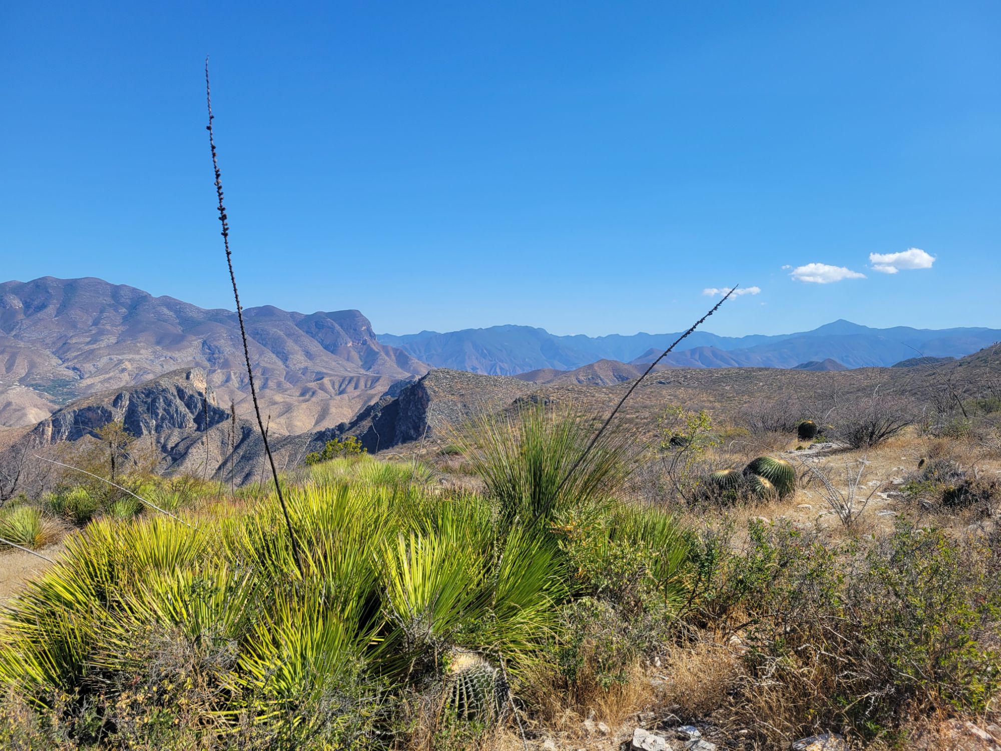
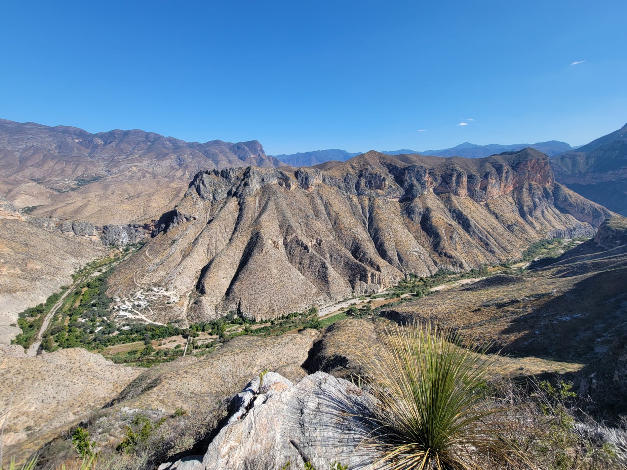
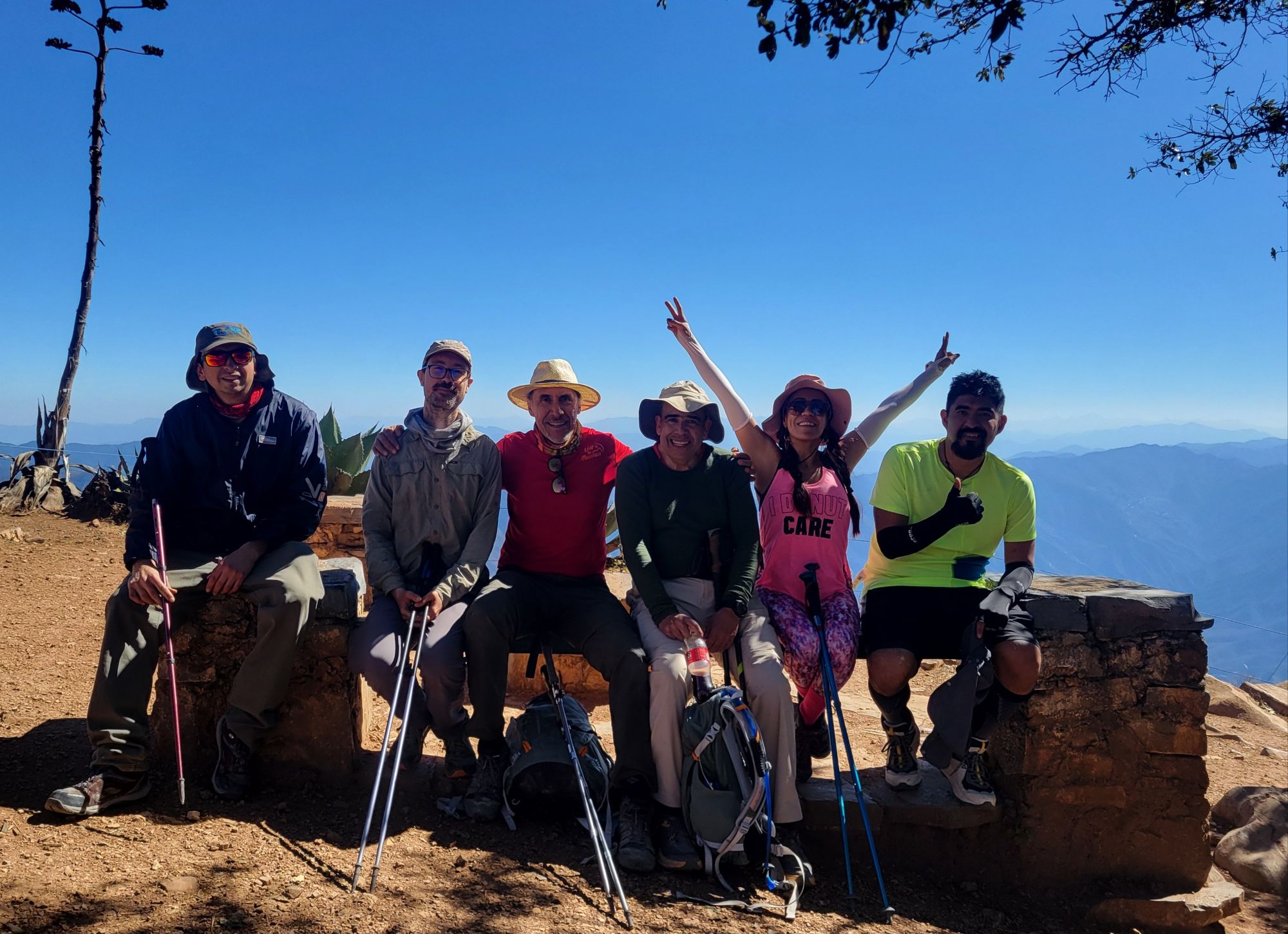
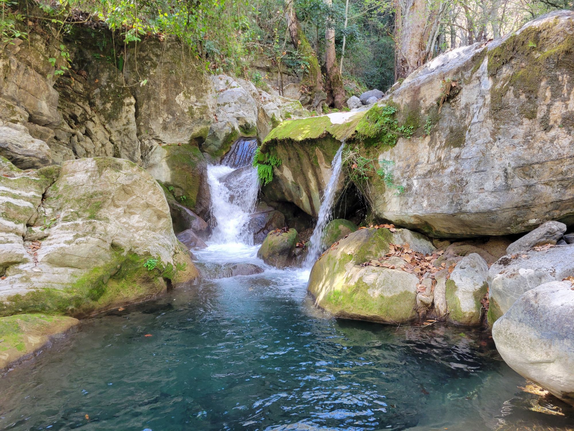
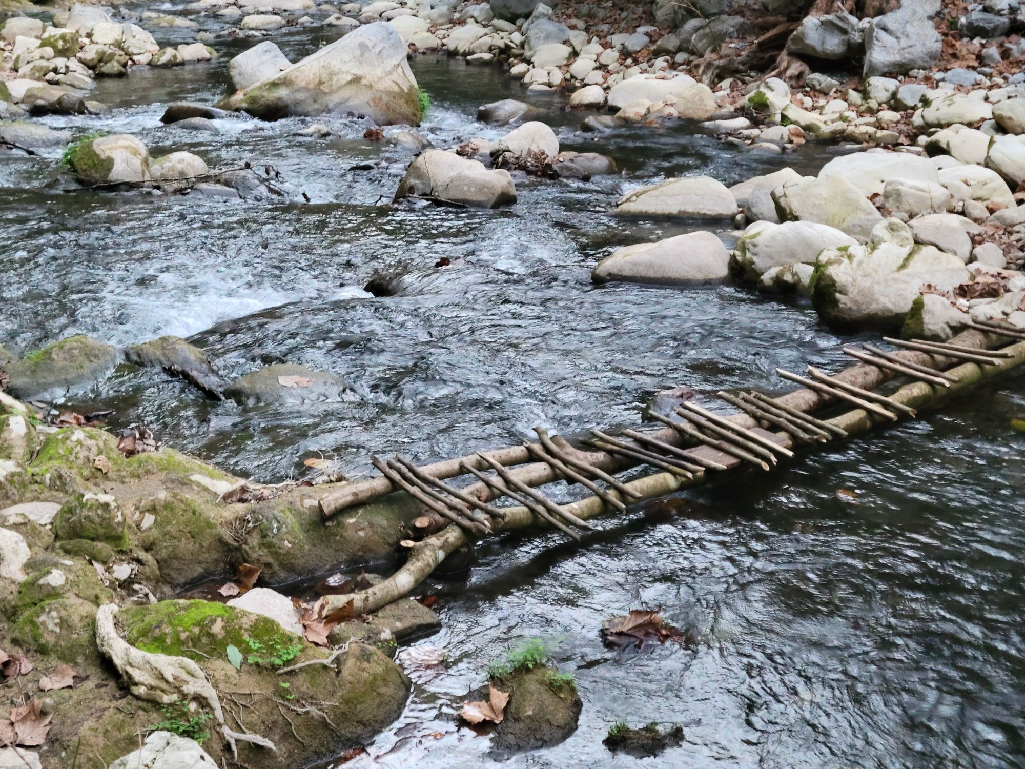
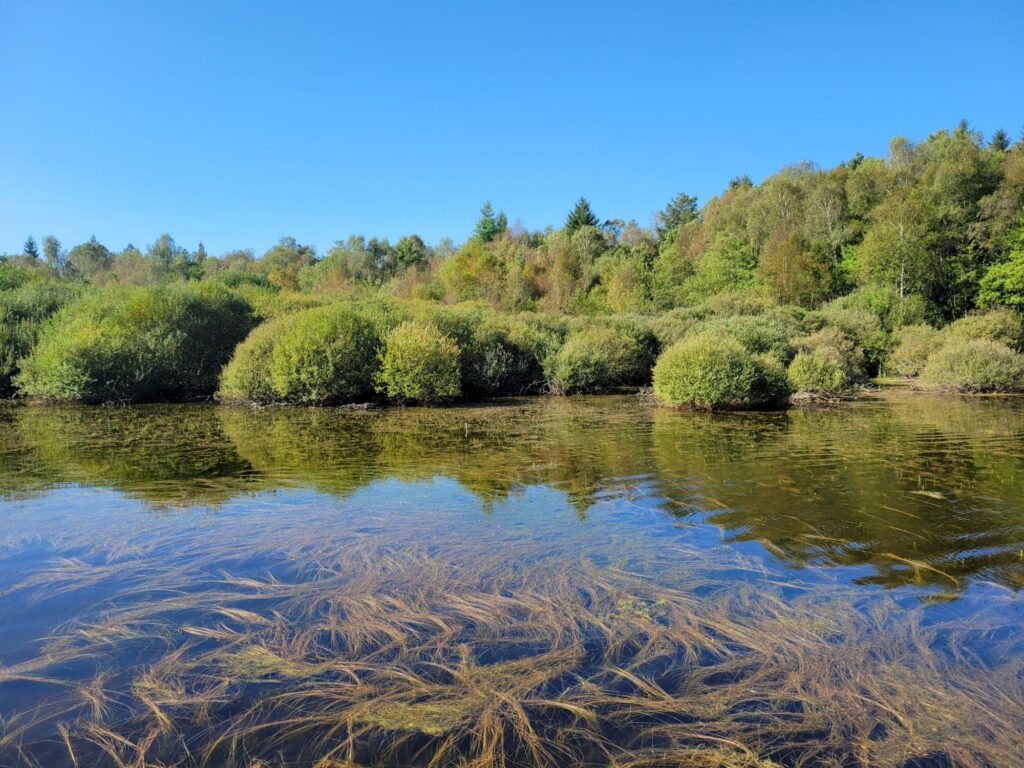
Junto con otras 8 aventureras, cruzamos la Sierra Gorda durante 4 días siguiendo el guiaje de @livethemountain_. Fue una ruta de una diversidad increíble para mi primera travesía mexicana fuera del Valle de México.
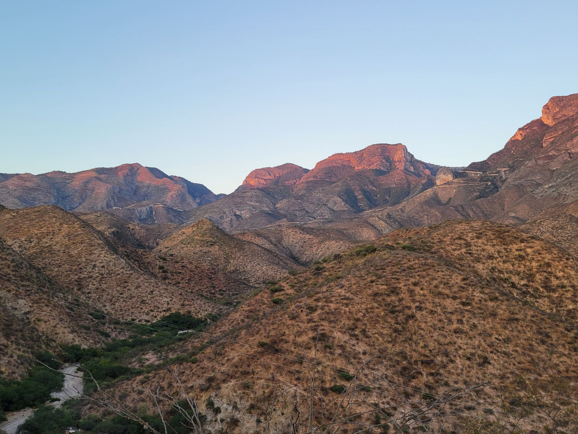
La Reserva de la Biosfera Sierra Gorda se extiende desde el semidesierto de Peñamiller, Querétaro hasta la selva de Xilitla, San Luis Potosí. Las montañas bloquean poco a poco las nubes que vienen del Golfo de México y el paisaje se vuelve un poco más seco en cada valle, creando un mosaico extraordinario de ecosistemas.
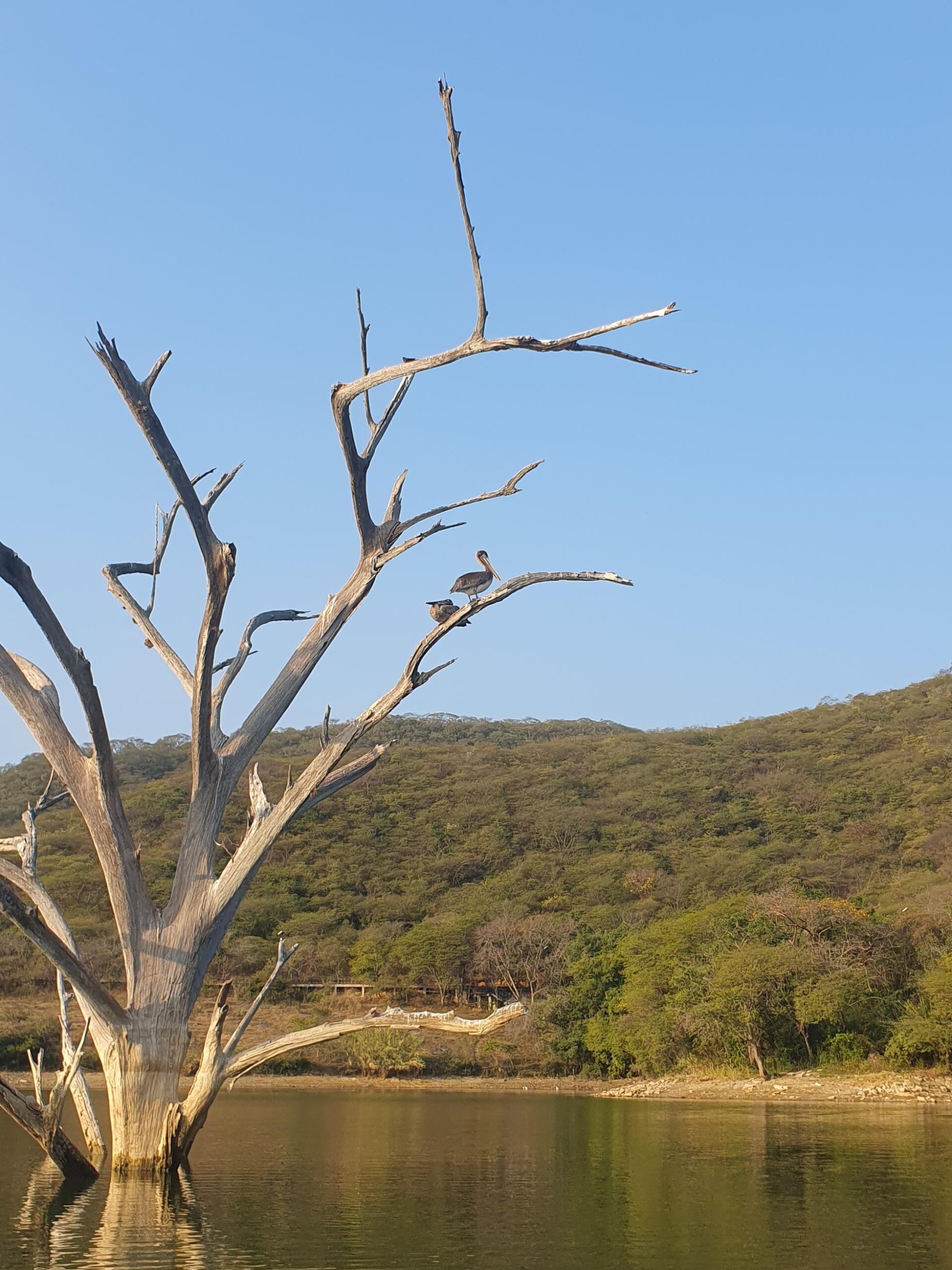
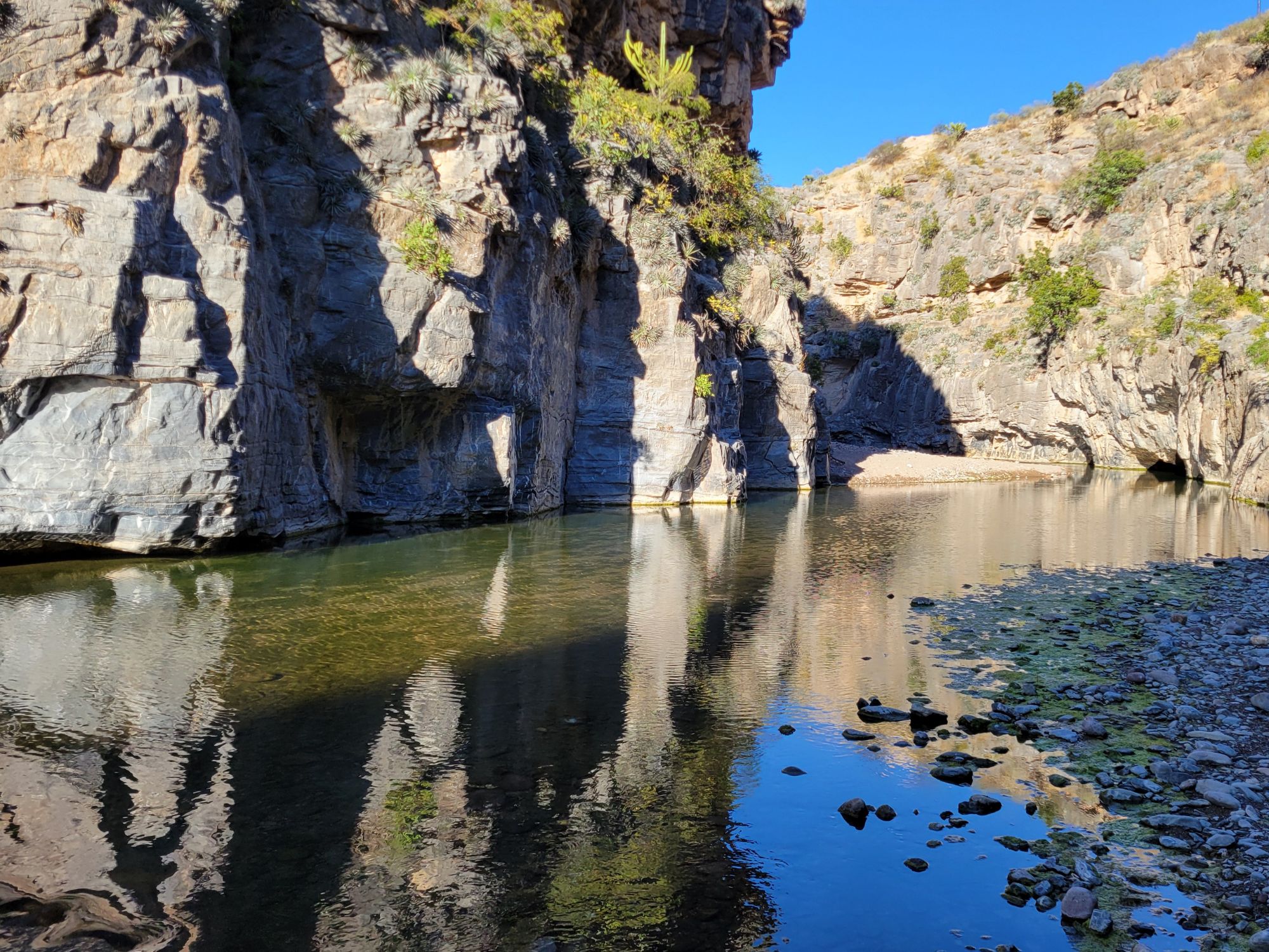
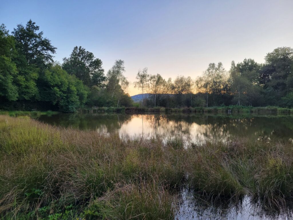
Nos llenamos de espinas en los cerros de Peña Blanca, cruzamos las aguas del Cañon del Paraíso, subimos 1500 metros hasta el mirado de Cuatro Palos, seguimos por los encinares de Pinal de Amoles, nos bañamos en las aguas turquesas del río Escanela, antes de acabar rodeados de aves en la presa de Jalpan de Serra.
Toda la zona es conocida de los turistas locales por sus miradores, ríos y canones pero no cruzamos a casi nadie en los senderos, aunque me parecieron seguros y bastante fáciles de seguir.
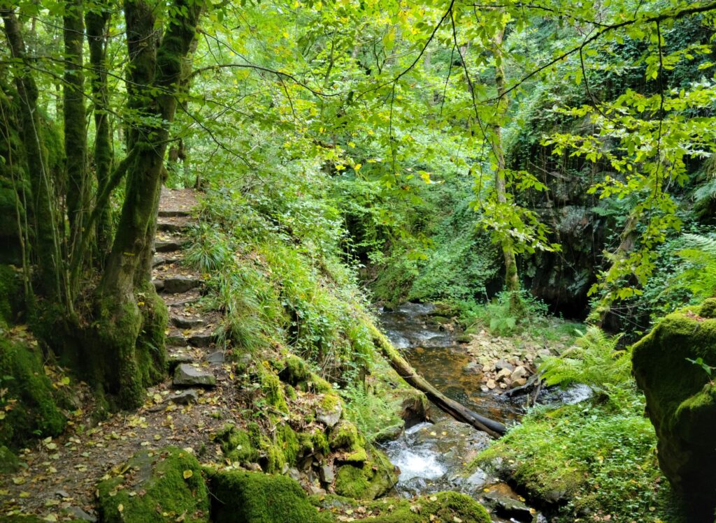
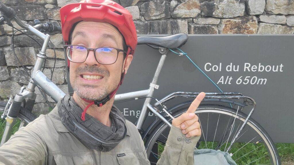
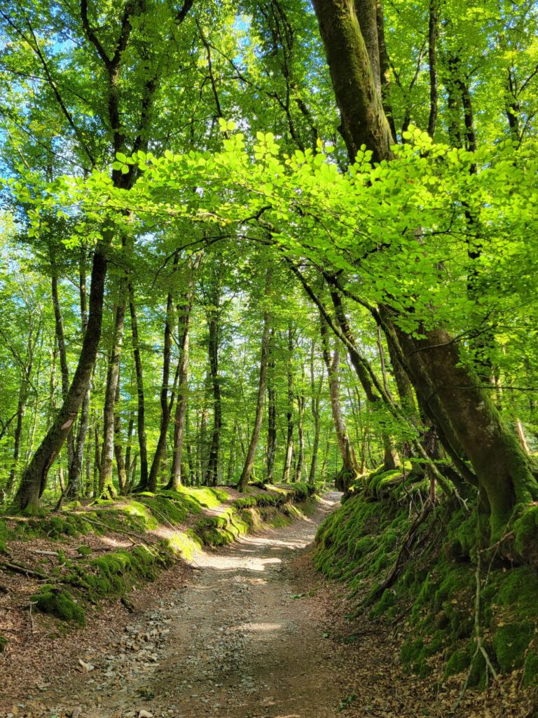
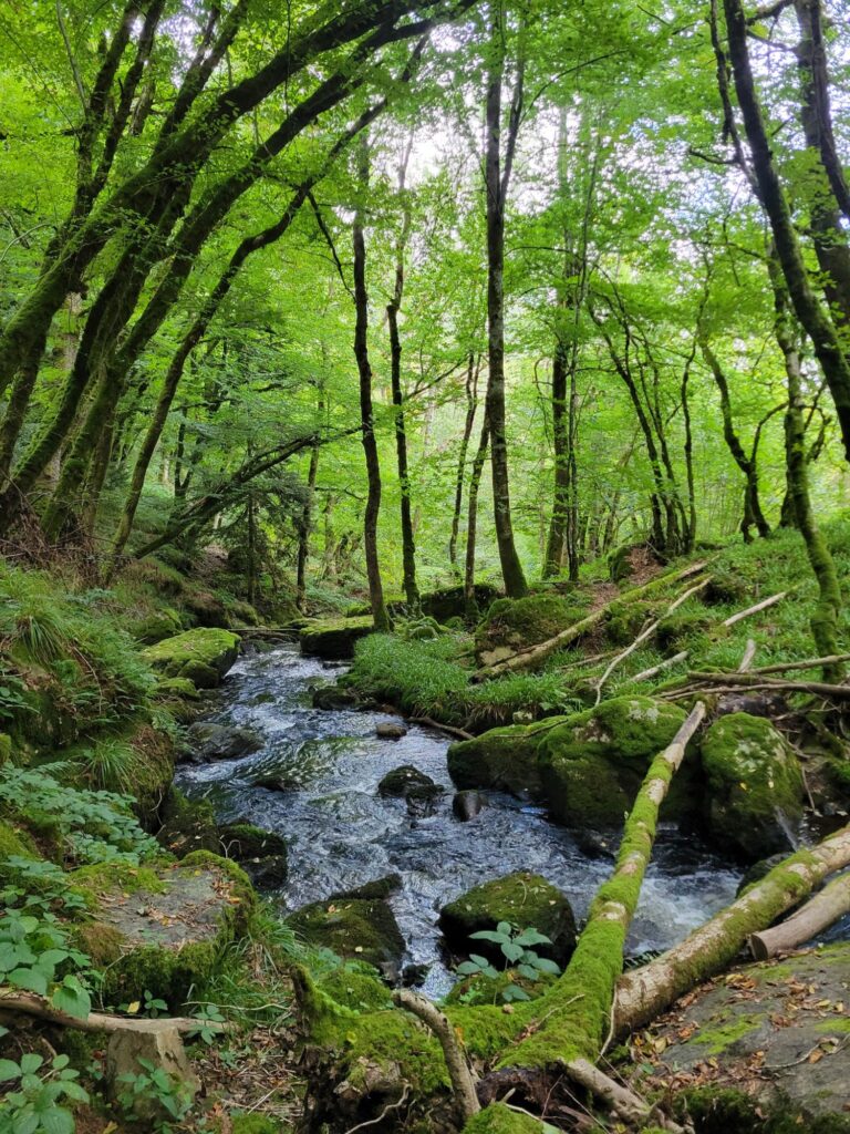
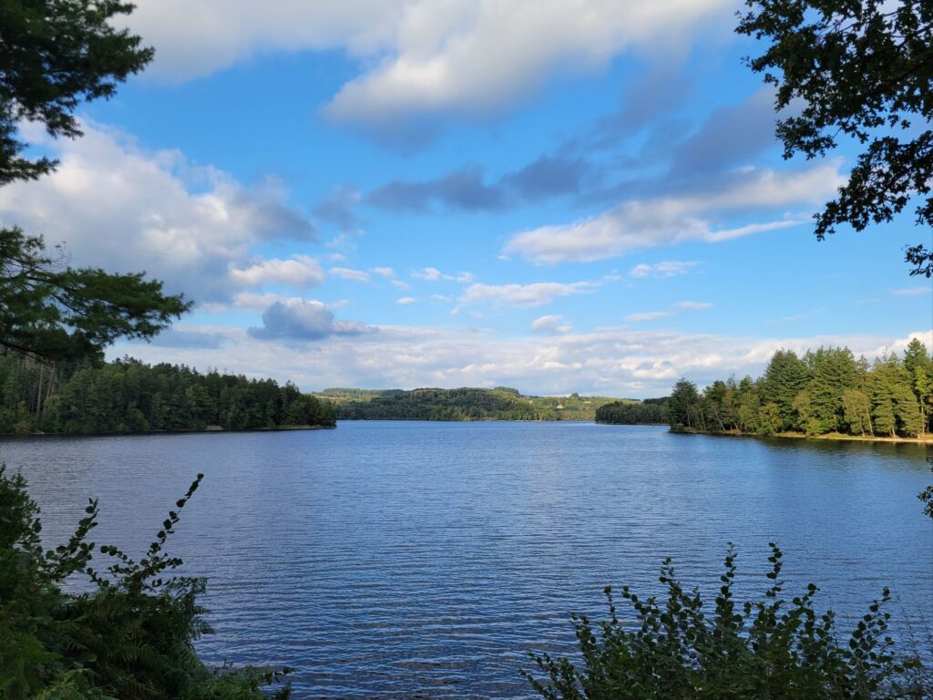
Je me suis rabattu sur le sud Morvan pour 4 jours de marche faciles à improviser après que Boris ait fait tomber à l’eau nos projets de Tour du Mont Blanc.
Le pari de troquer montagne pour forêt a réussi!
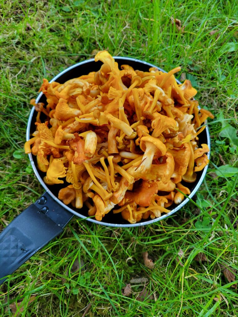
Du beau temps, ni chaud ni froid. Un transport facile avec un train par heure de Dijon à Étang-sur-Arroux et un bébé col à vélo. Des forêts magnifiques, bien entendu. De l’eau à foison. Personne sur les chemins. Et quelques chanterelles en prime…
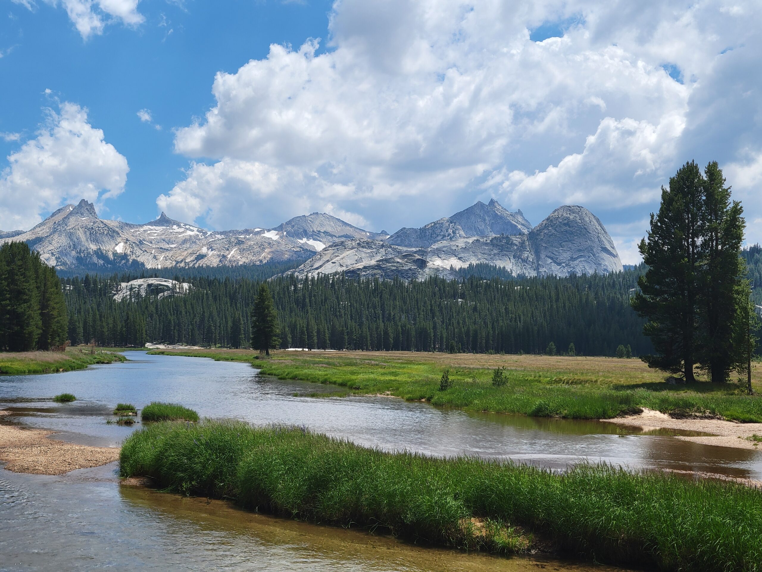
After viewing the Yosemite Valley from all angles, I had 9 more days on my permit to explore the rest of the 3000 km² of the park.
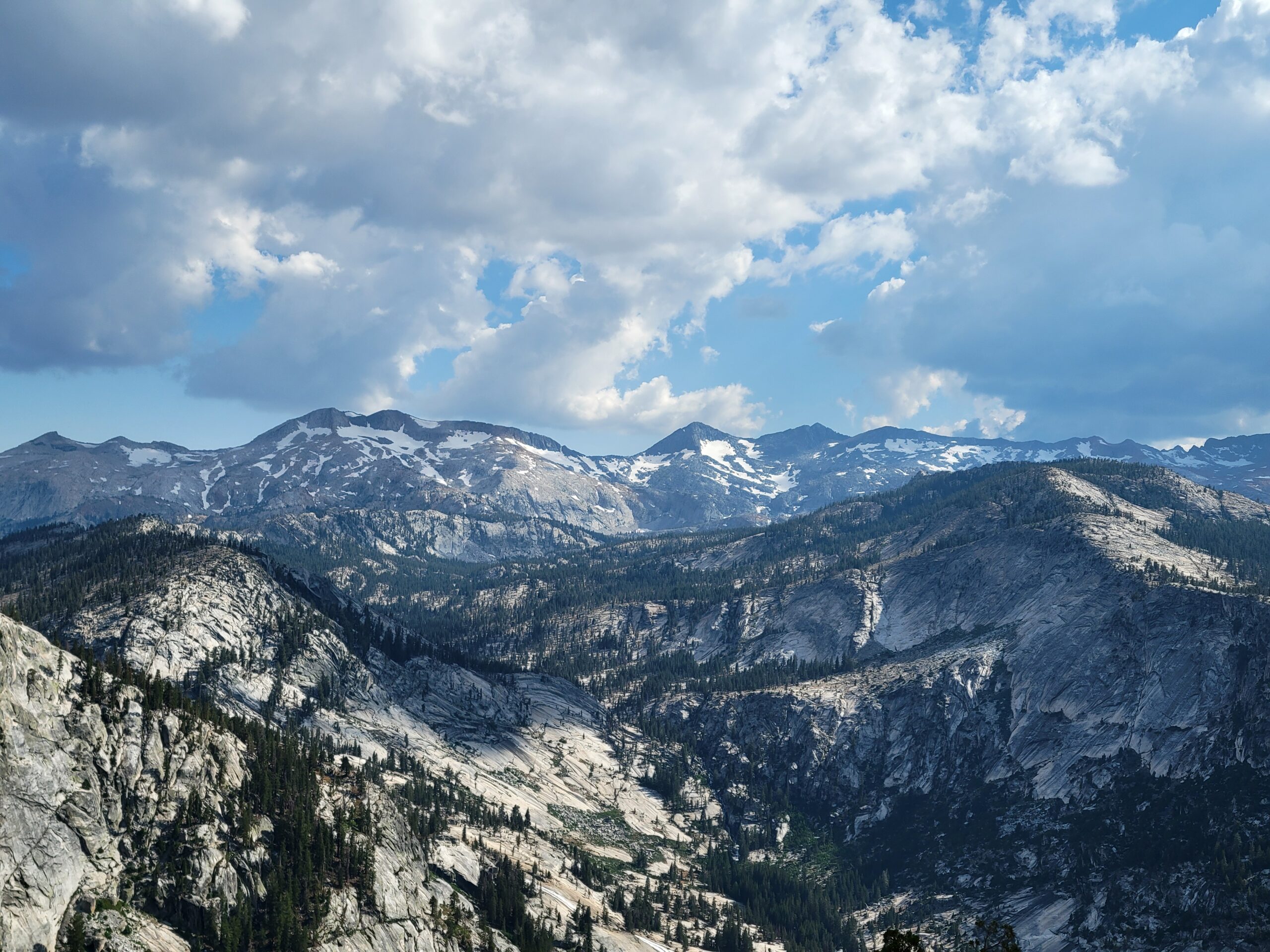
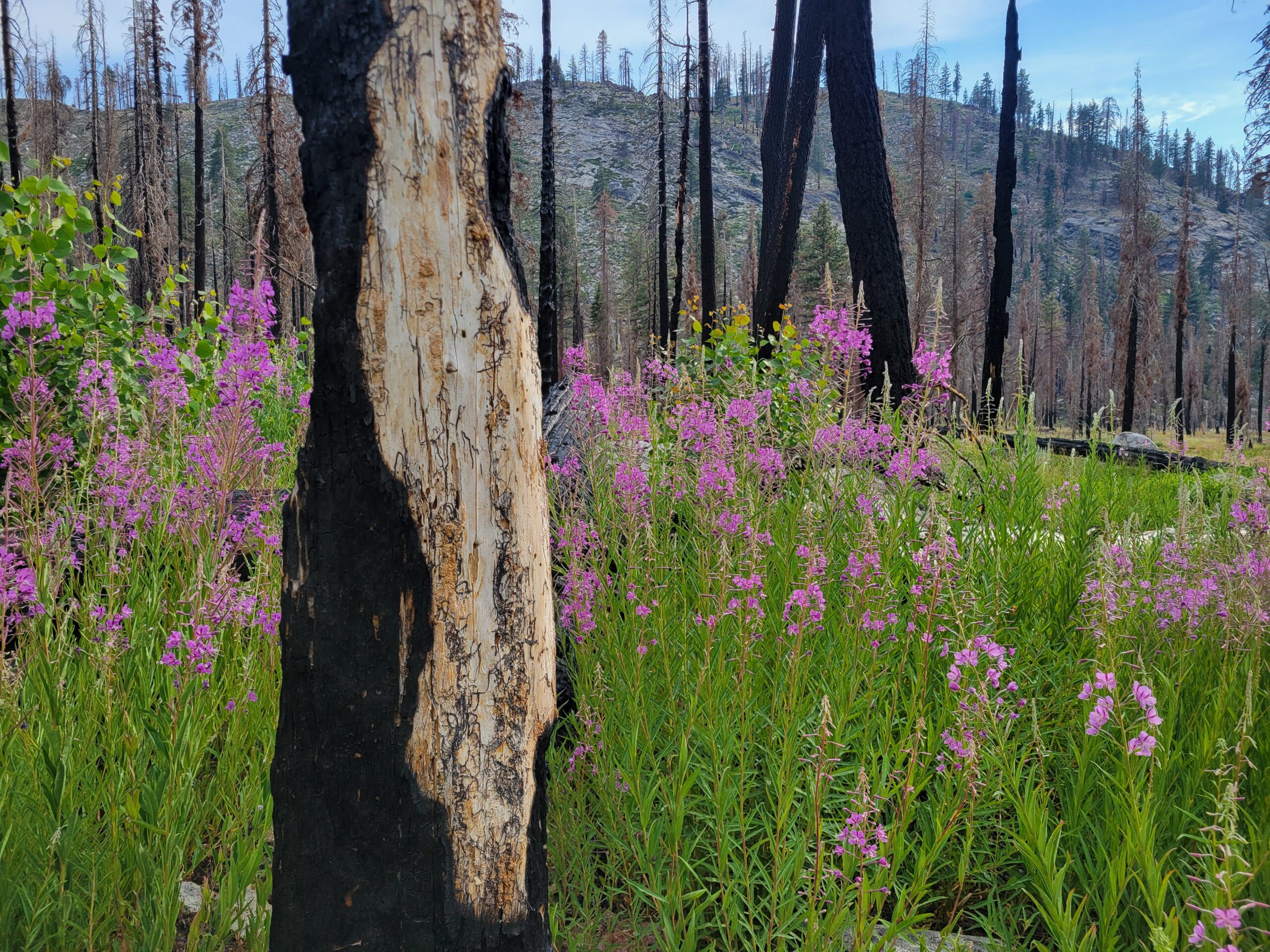
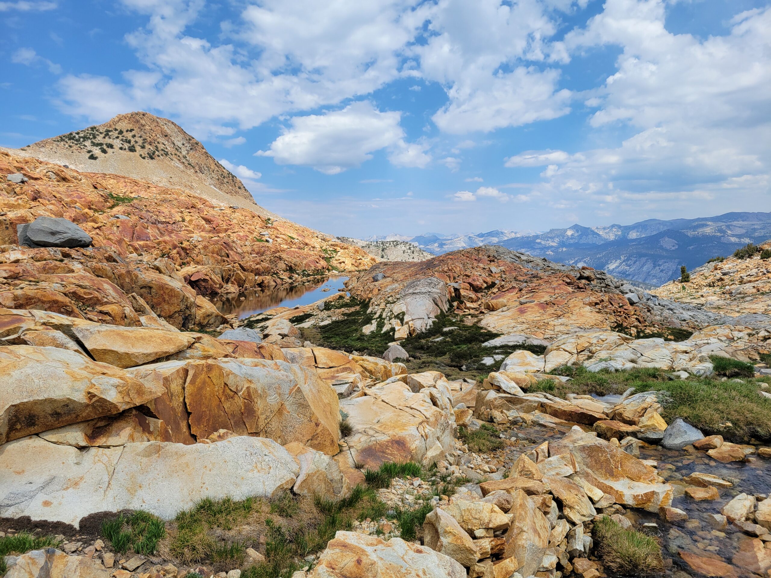
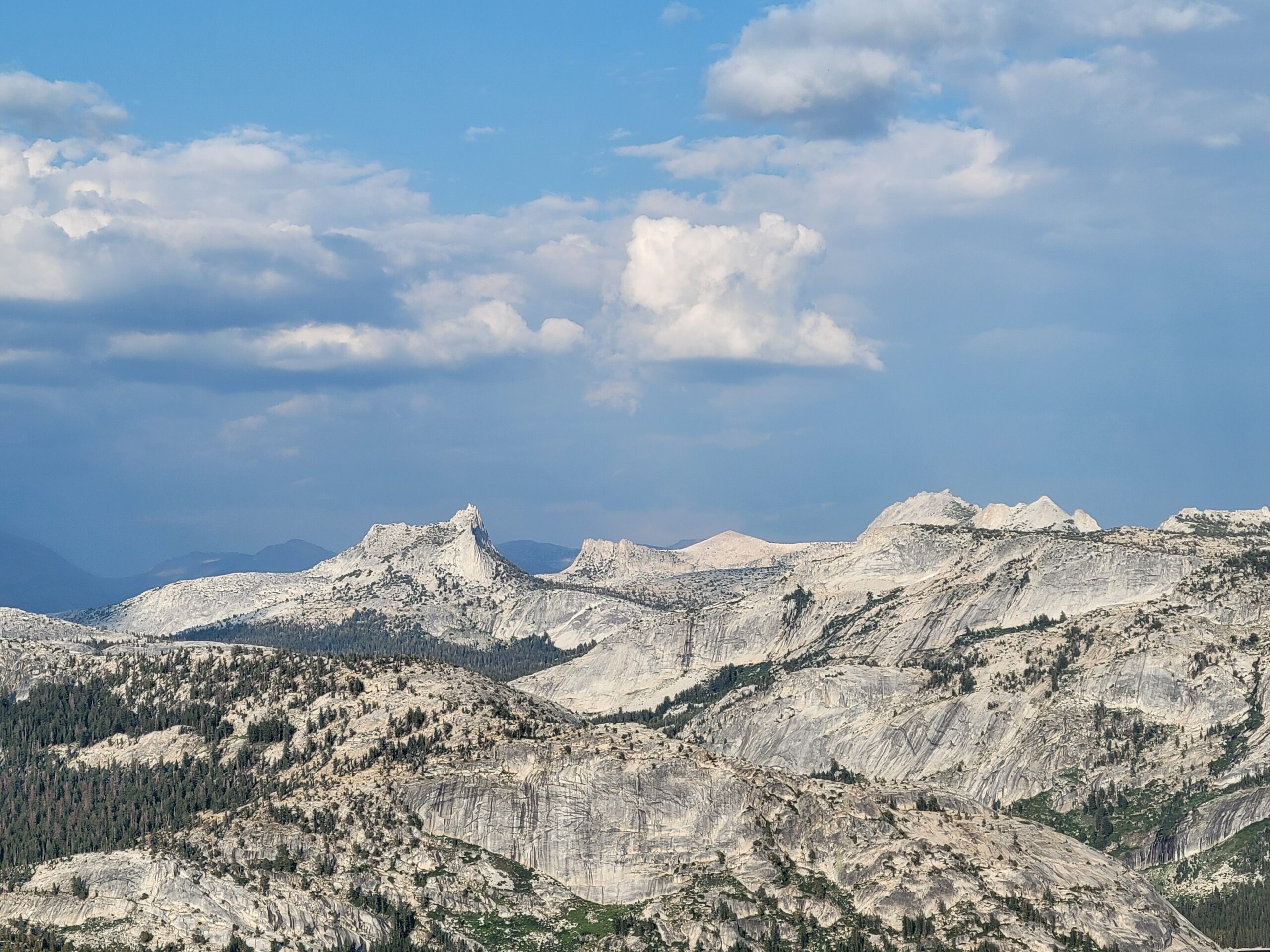
After hiking up the Illilouette Creek and its gardens of pines and wildflowers, the first highlight was Red Peak Pass, the highest trail in the park (3400 m). I loved the big open views above the timberline and the palette of white, red, and gray rocks in glacial landscapes. Oh, and I barely saw anybody in 3 days…
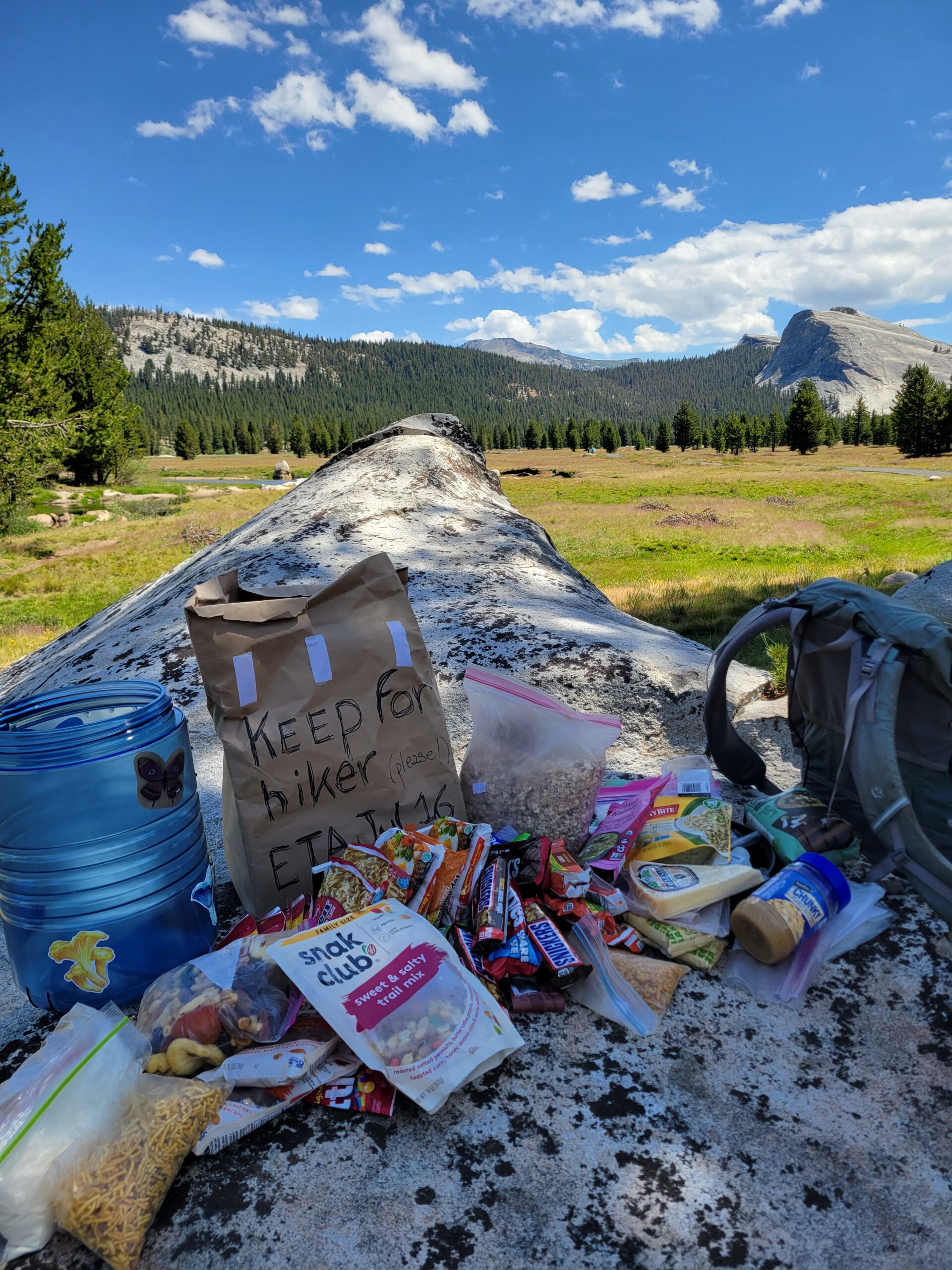
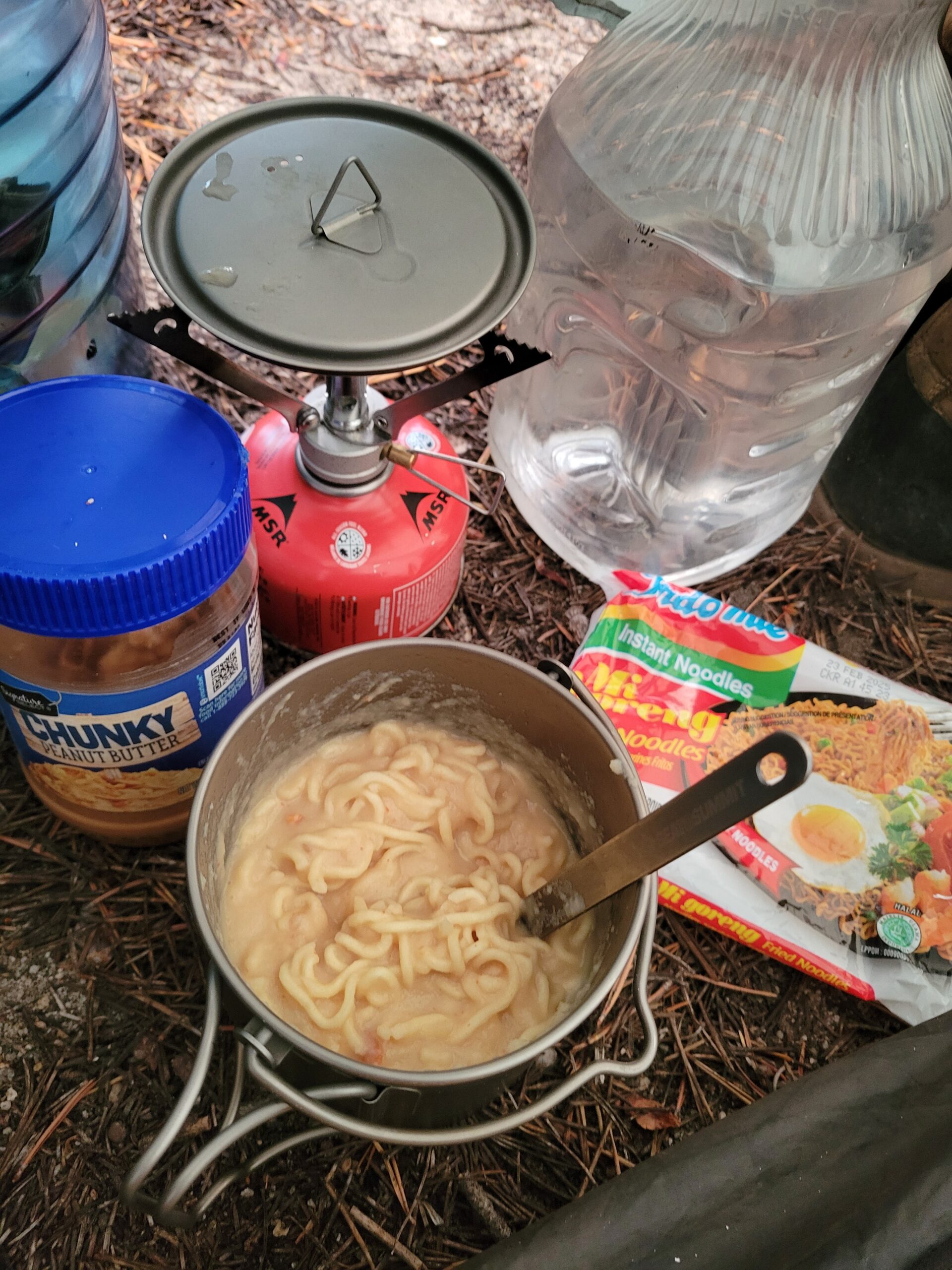
On Day 7, I could fetch my second week of food from the locker in Tuolumne Meadows and refill in ramen bombs.
Tioga Road at Tuolumne Meadows was the only road I crossed in 2 weeks and 275 km. It was magical to hike in landscapes where a foot trail was the only mark of human activity (and sometimes not even that…). No cars, no houses, no power lines, no city lights.
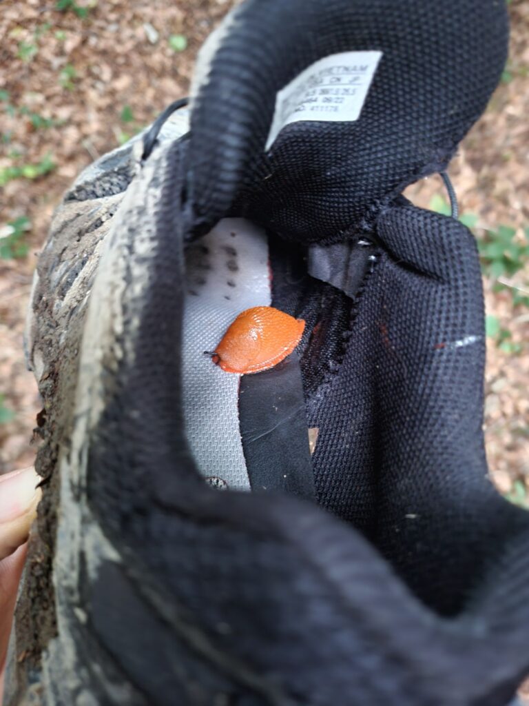
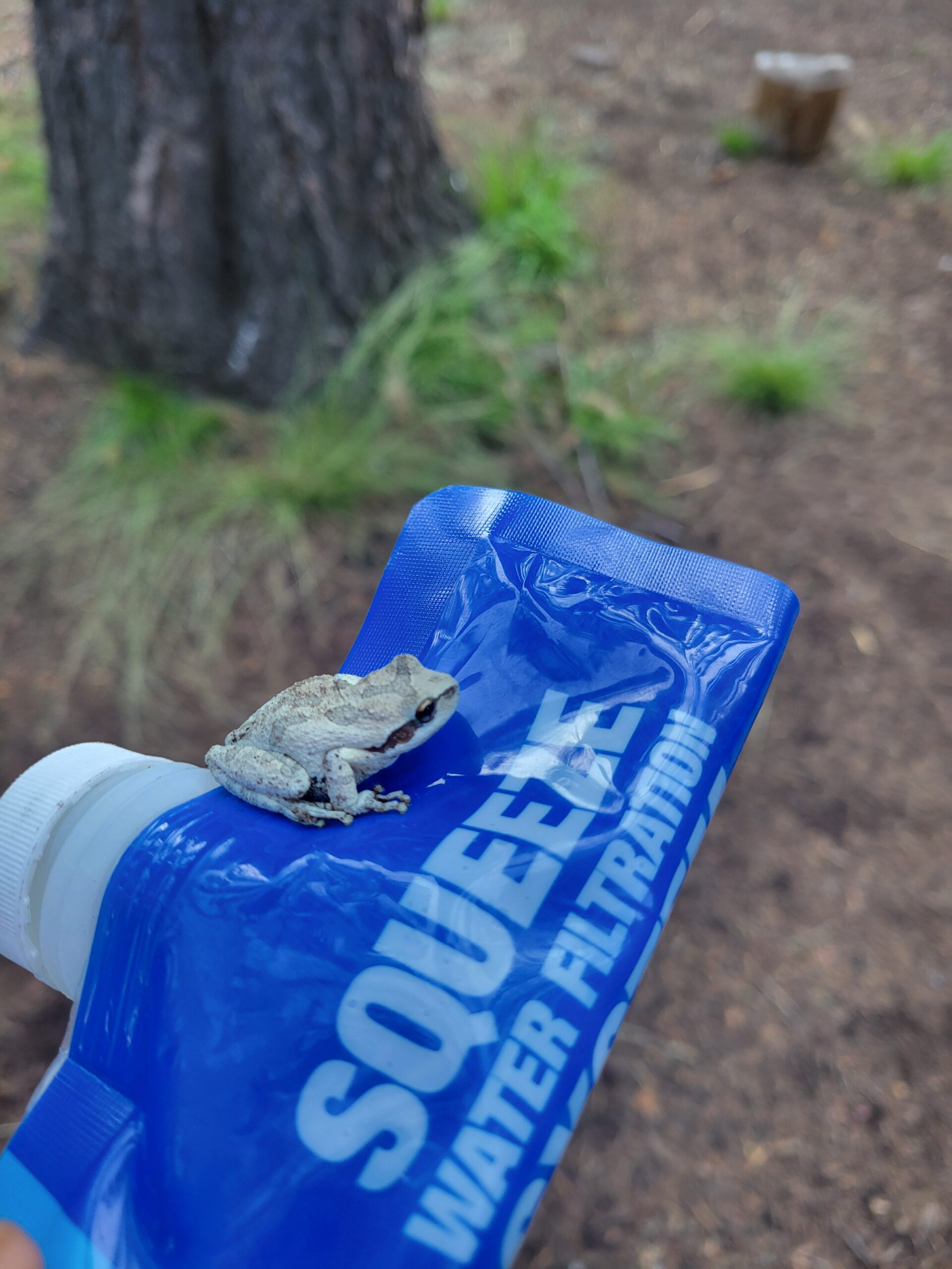
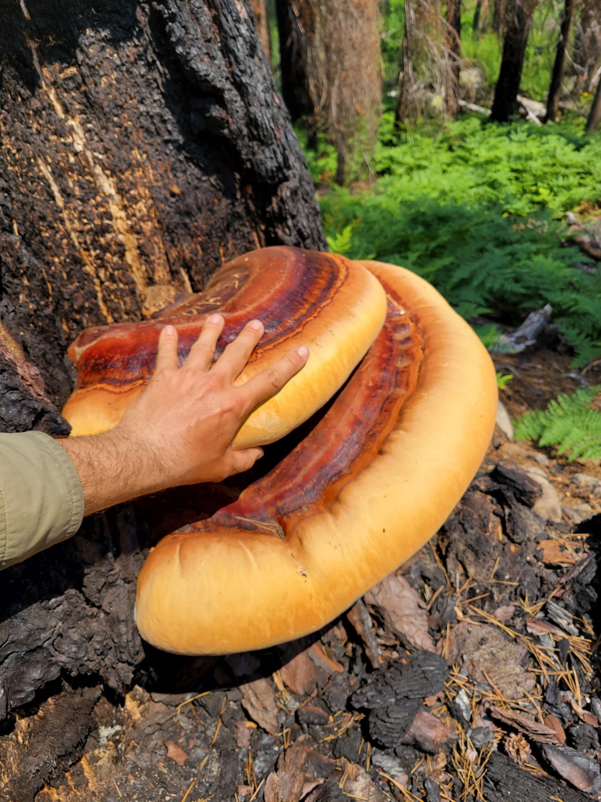
On the upside, that meant lots of wildlife, some relatively unafraid of humans, like these deer or this mama bear and her cub coming for a snack with me by the creek. It was also striking to see many more birds than in Europe: bright blue jays, flocks of quails, duck families, red-tailed hawks, flirtatious hummingbirds, etc. And the biggest mushroom I’ve ever seen!
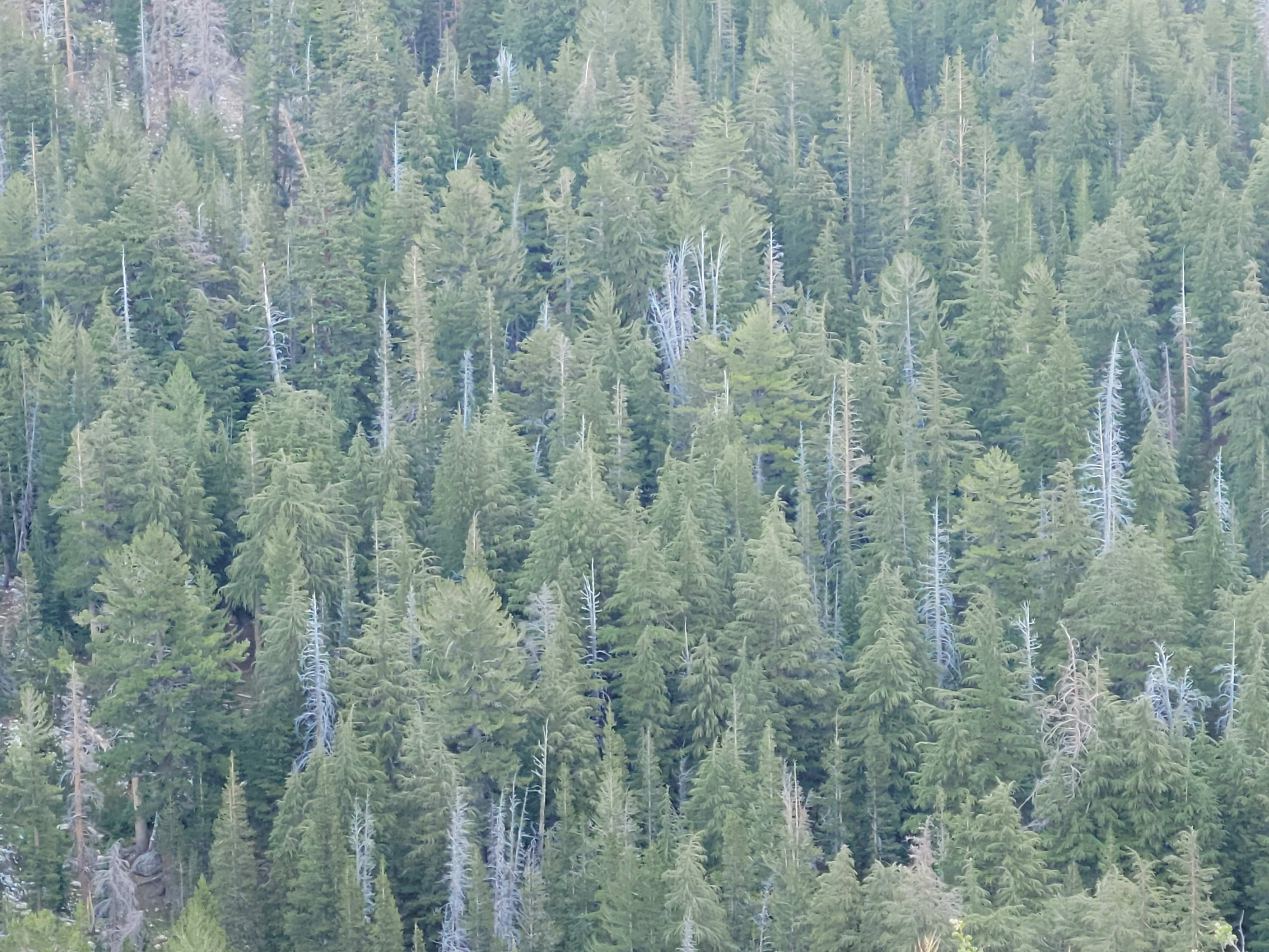
On the downside, that meant long stretches of forest and relatively few open views, unlike in Europe where millenniums of pasture make it possible to hike for days above the tree line. Not as good for biodiversity and carbon storage, but great for hiking.
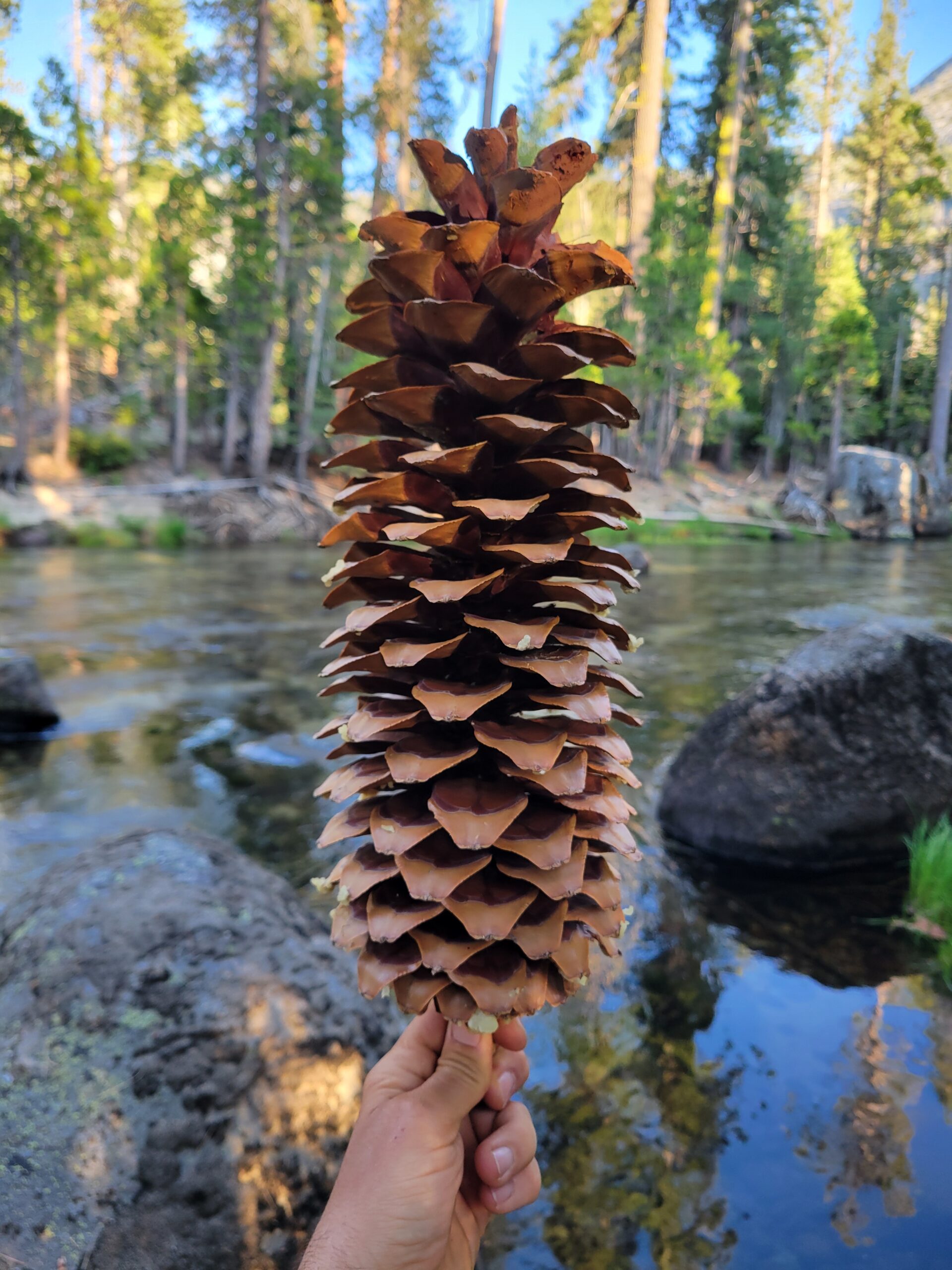
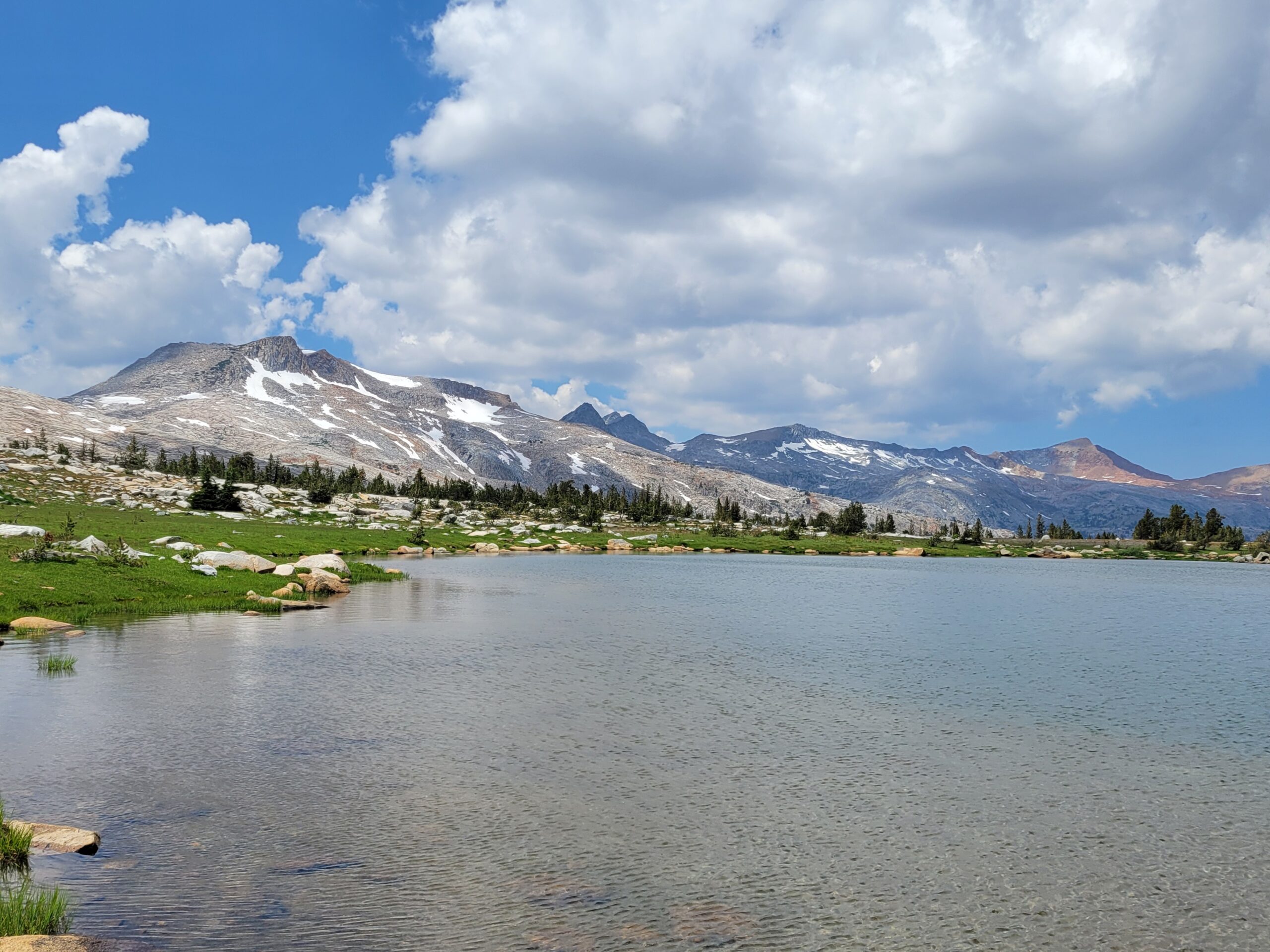
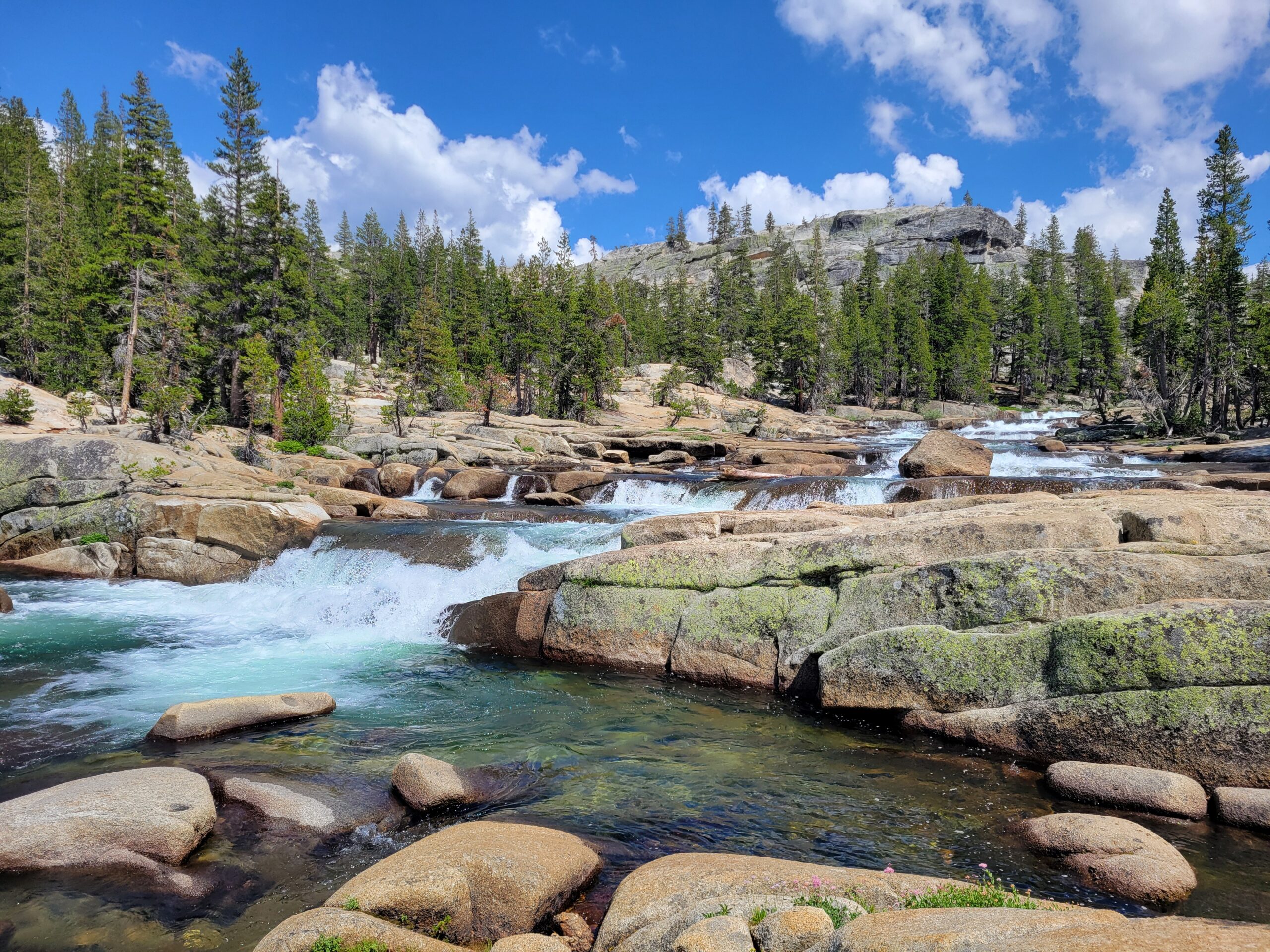
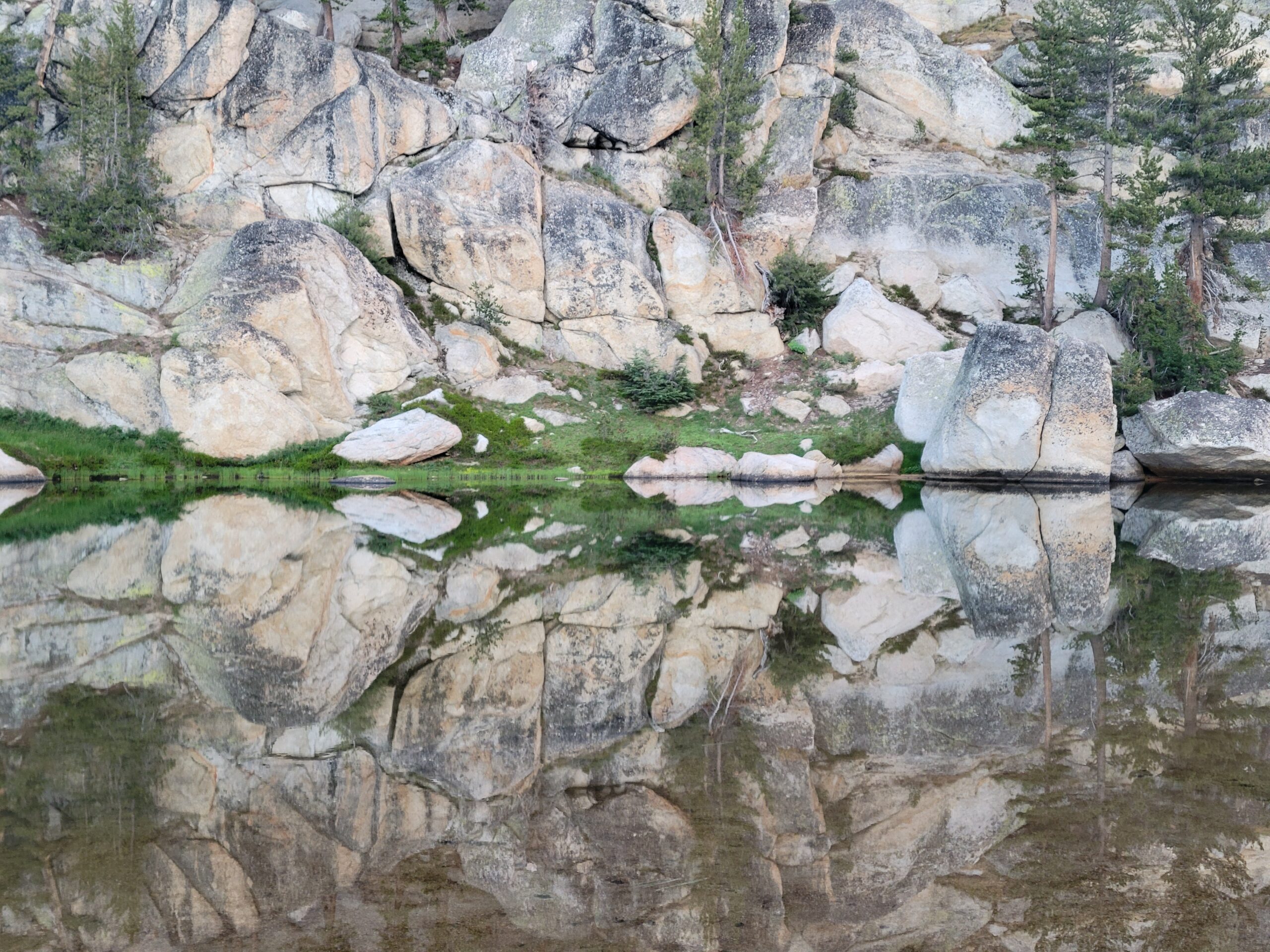
What I found most beautiful outside of the valley were the water features: the Grand Canyon of the Tuolumne River with its constant cascades and natural pools running for 20+ km, the sandy beach at Benson Lake, the hundreds of glacial lakes (swimsuit optional), etc. Mid-July was a sweet spot this year: no snow on the trail, still a lot of water, but late enough to make stream crossings safe and the water always refreshing but never cold.
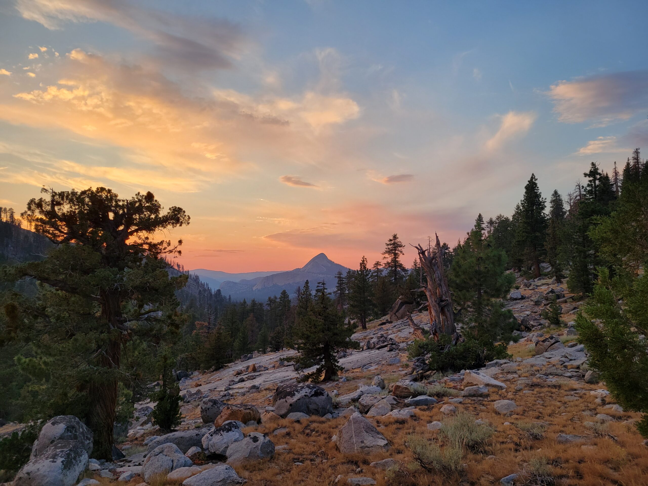
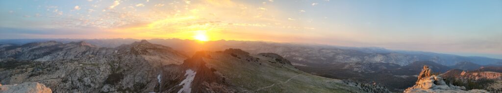
I finished my trip at sunrise on top of Mount Hoffmann, with incredible views at 360° on the whole National Park.