Having heard so much about Yosemite, I wondered whether it was overrated. It’s not. It’s truly one of the greatest natural wonders.
Lodging on the valley floor is hard to get and expensive. Arriving by bus with YARTS, I was allowed to stay 1 night in the cheap but precarious Backpackers Campground. My Backcountry Permit, starting on the next day, granted me another night. A ranger confirmed it was a loophole to stay 2 nights, but legal. A hacker gonna hack…
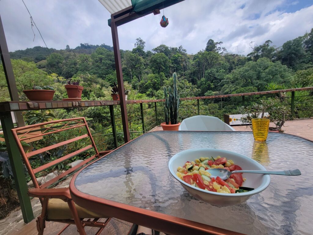
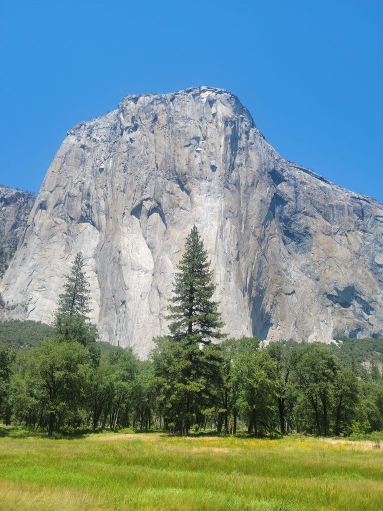
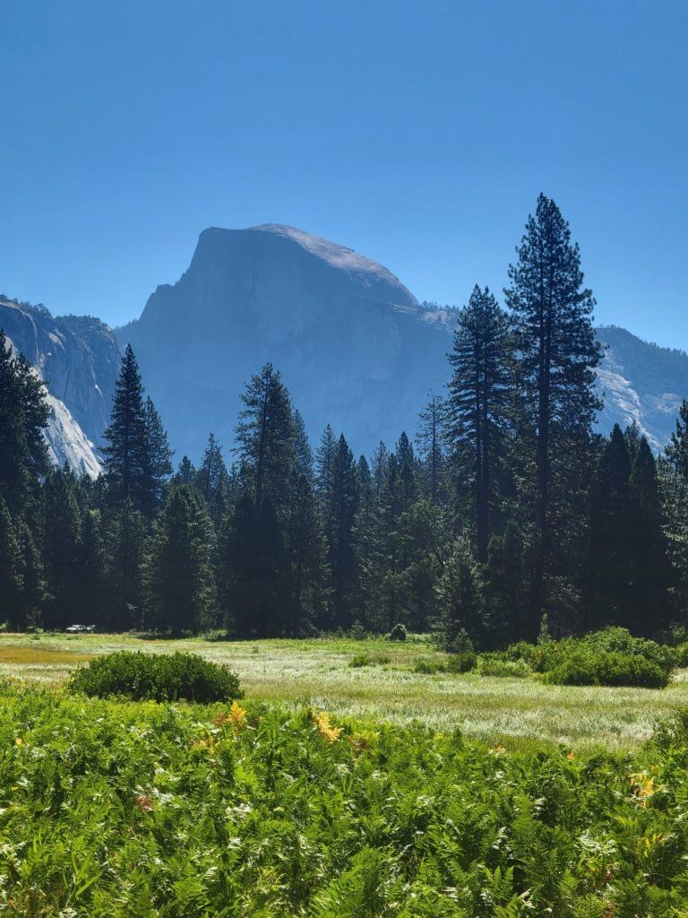
I got to spend a whole day on the valley floor. The free shuttle and a bit of walking were enough to have great views of El Capitán, Half Dome, and swim in the Merced River.
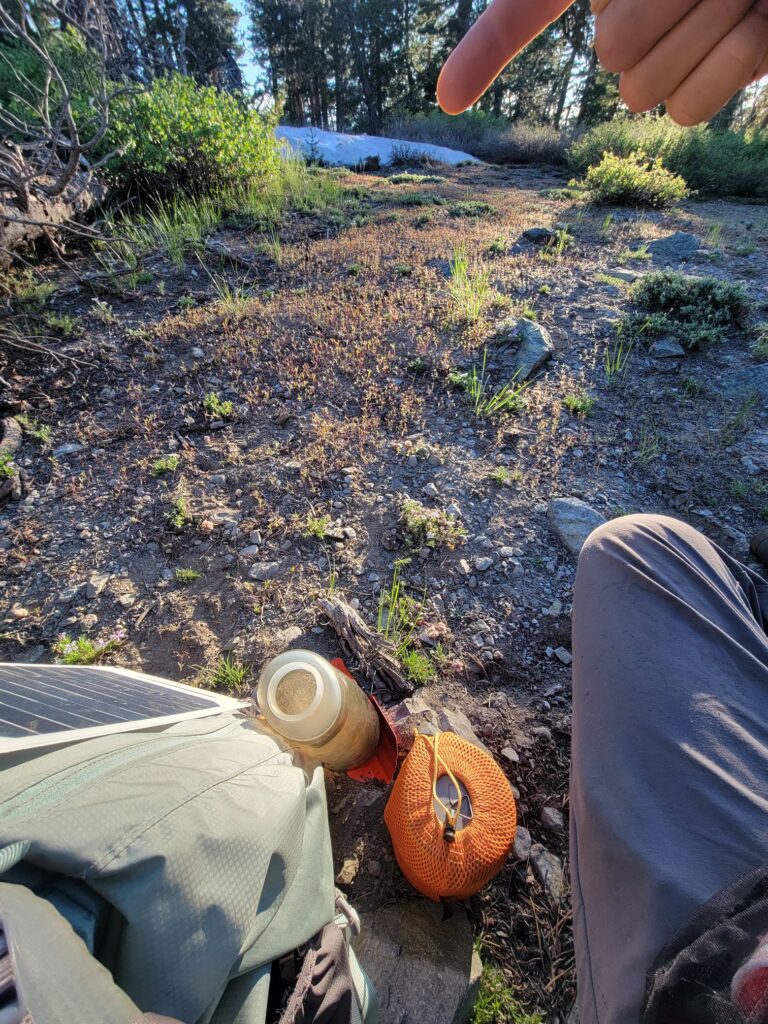
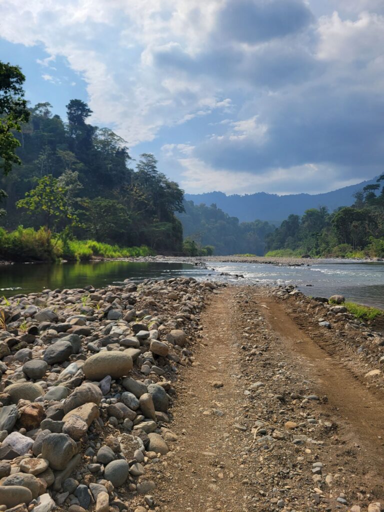
I discovered at the last minute that my resupply option for my second week of backcountry didn’t work. So, I also learned how to shop for exactly 7 days of food in 1 hour. Useful backpacking skills!
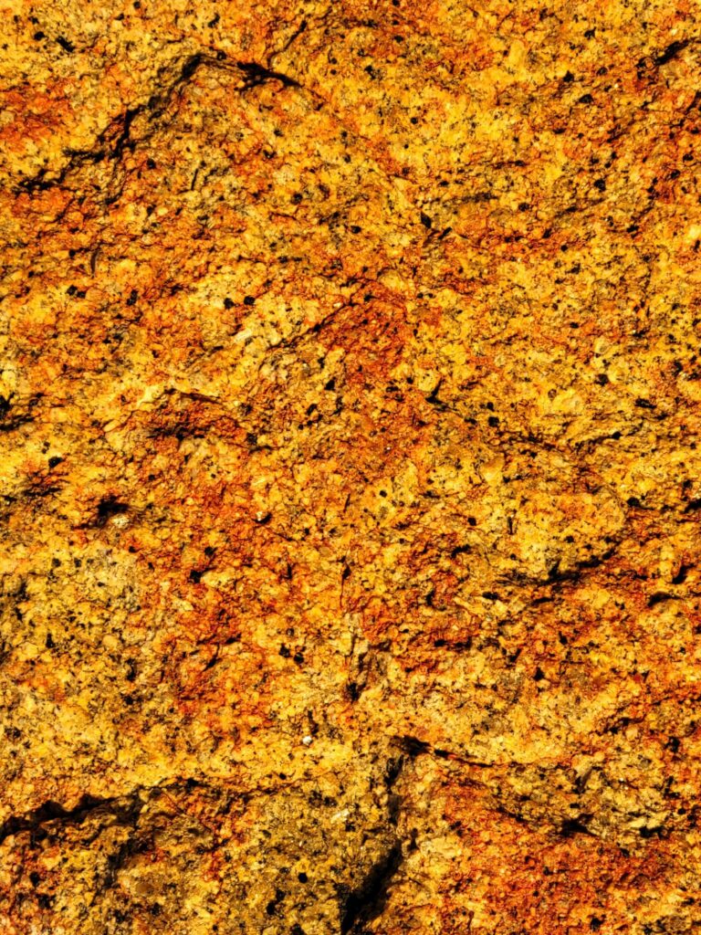
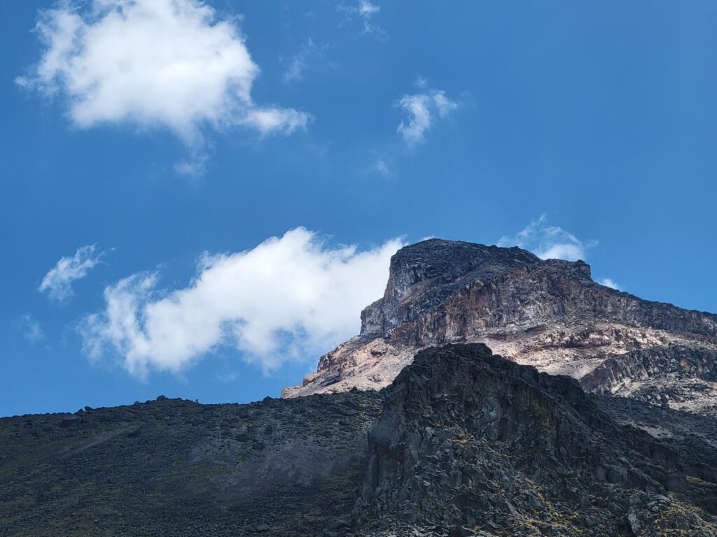
The gray colors and textures of the granite walls are mesmerizing. Sometimes looking like polished metal, sometimes like an abstract expressionist painting, and constantly changing throughout the day. Trying to spot climbers up adds to the hypnotic experience.
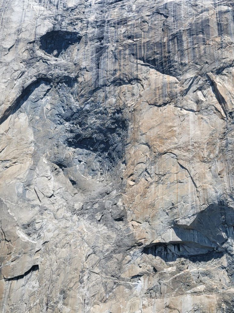
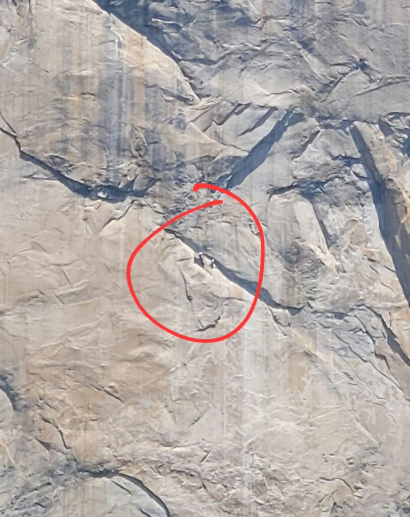
And things become even more exciting as you get up the valley walls!
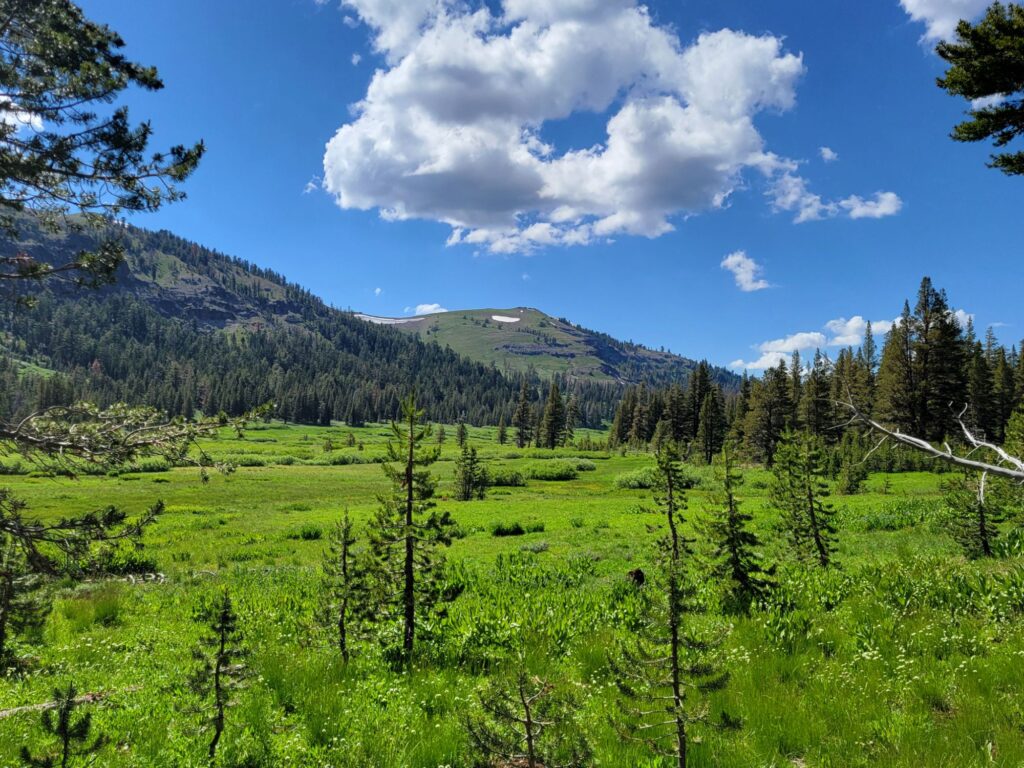
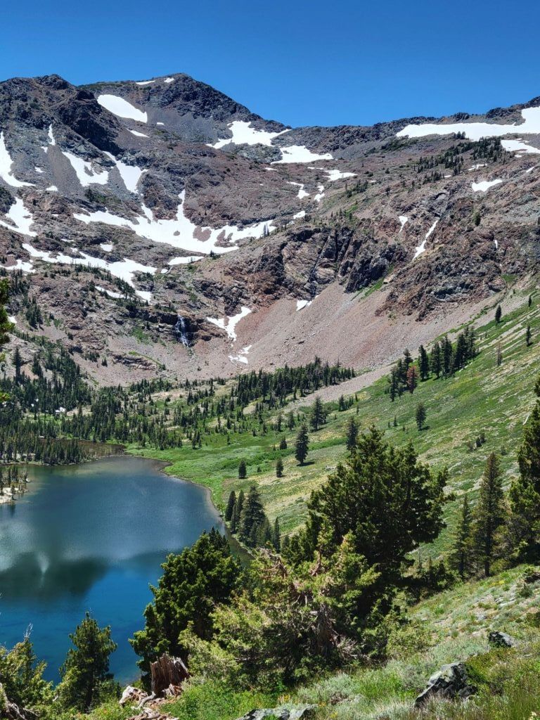
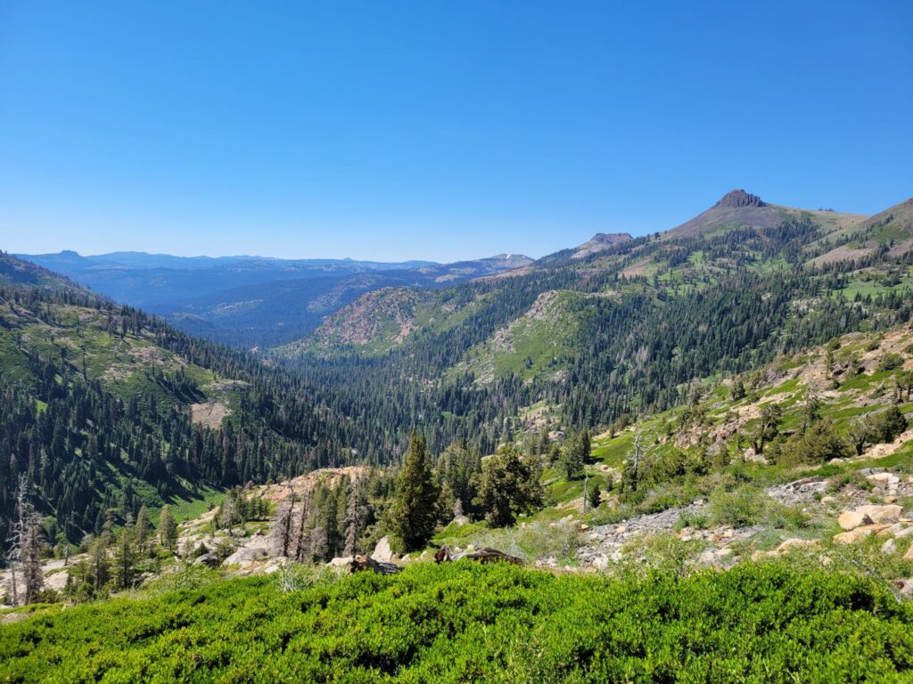
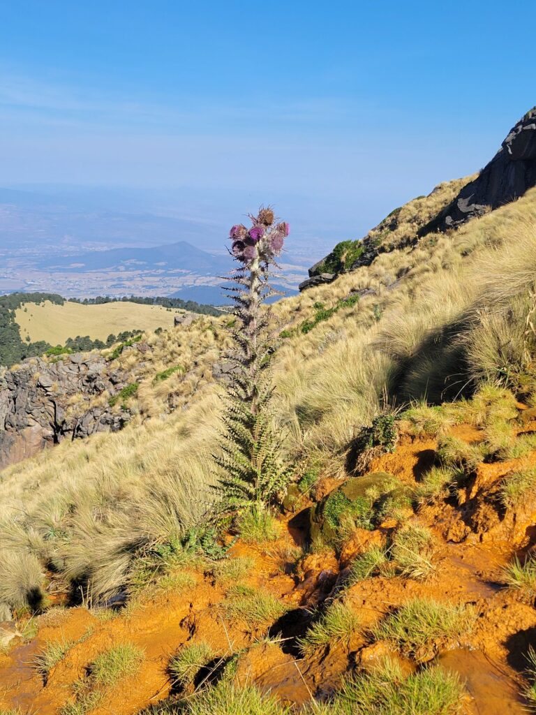
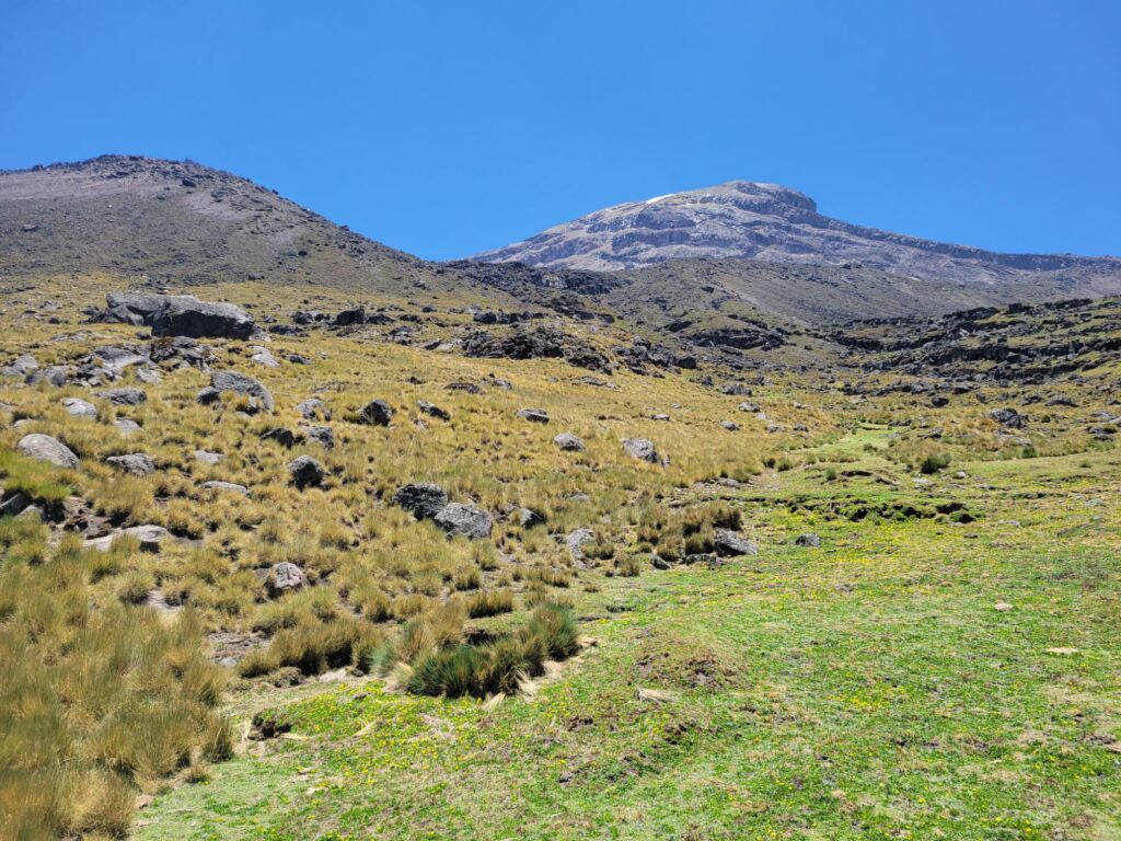
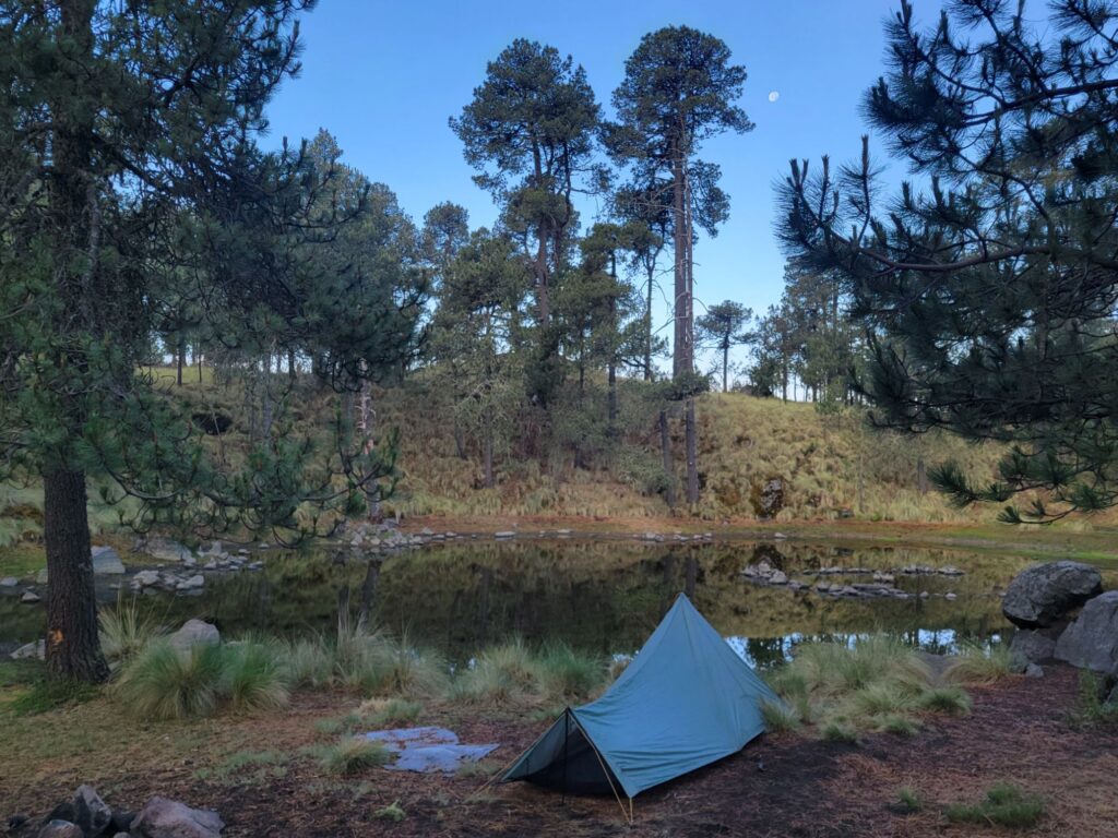
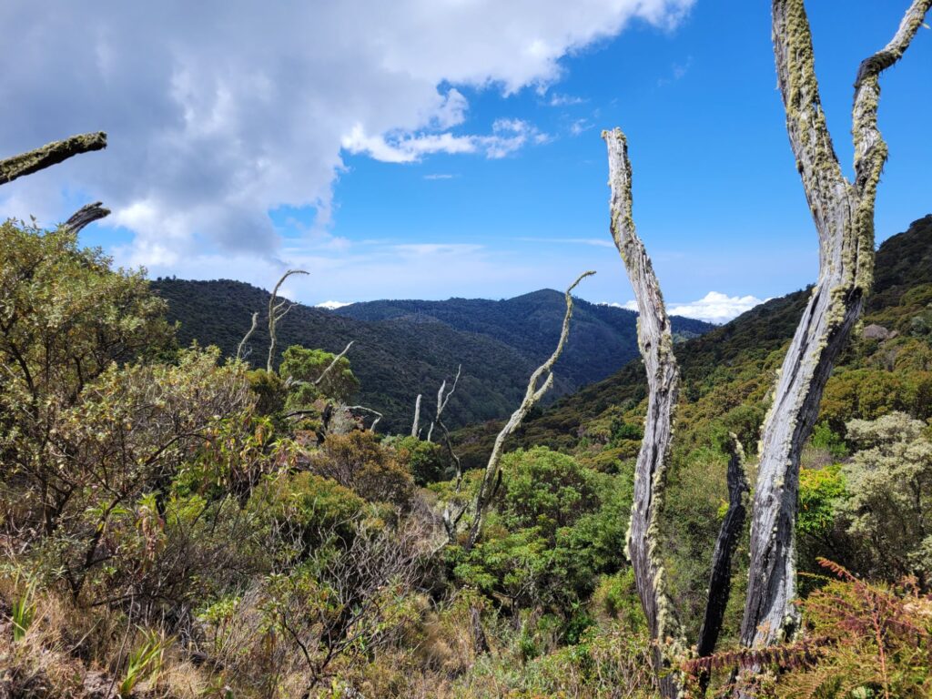
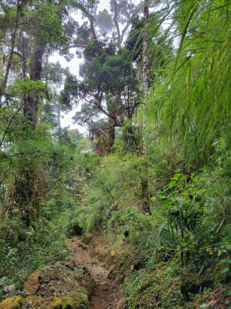
The first 4 days of my backcountry permit were focused on seeing the valley from the top. You could also see most of this with only 1–2 days of easy backpacking.
The day my permit started, I took the morning Hikers Bus on the Tioga Road to start in Tuolumne Meadows, North of the valley and 1400 m higher in elevation. I cached my second week of food in a bear locker, hoped for the best, and headed towards the Sunrise Camp.
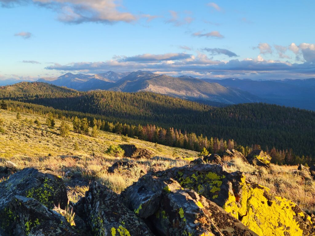
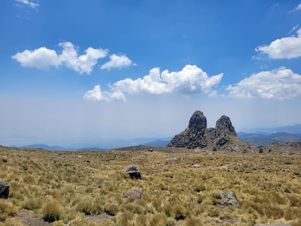
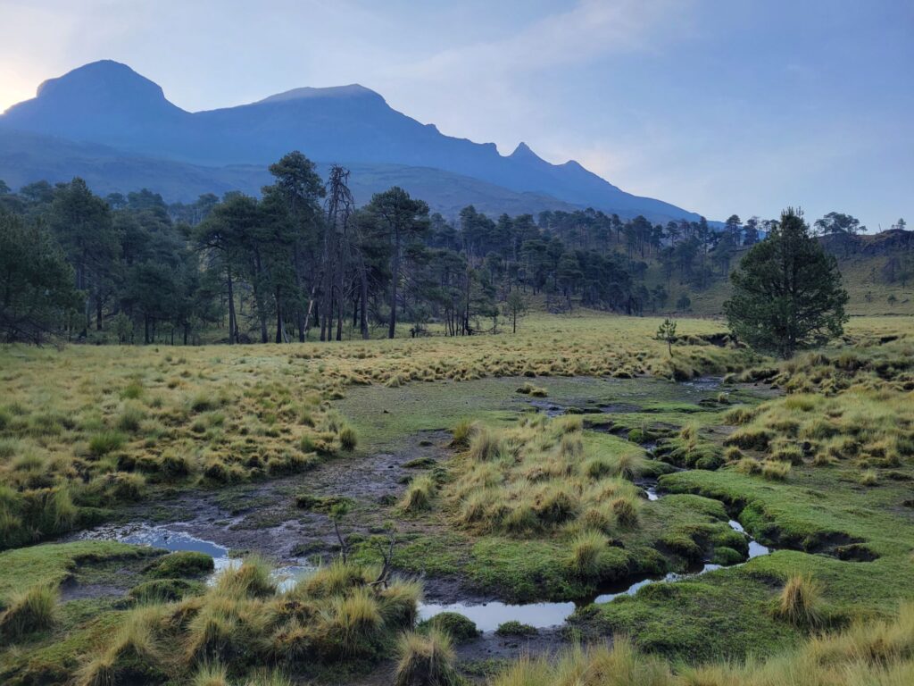
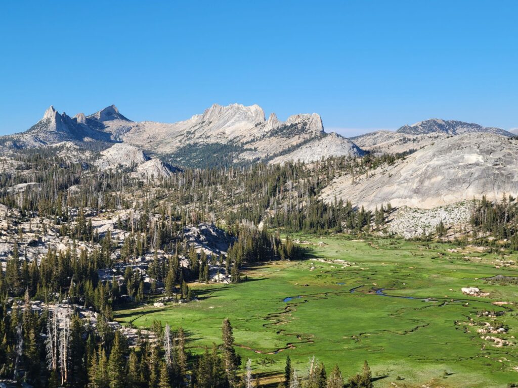
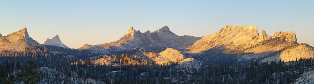
Sunrise Camp (Day 1), on the way back to the valley, has incredible views of the Cathedral Range, a group of sharp peaks, which barely stuck out of the huge Tuolumne Glacier about 1 million years ago.
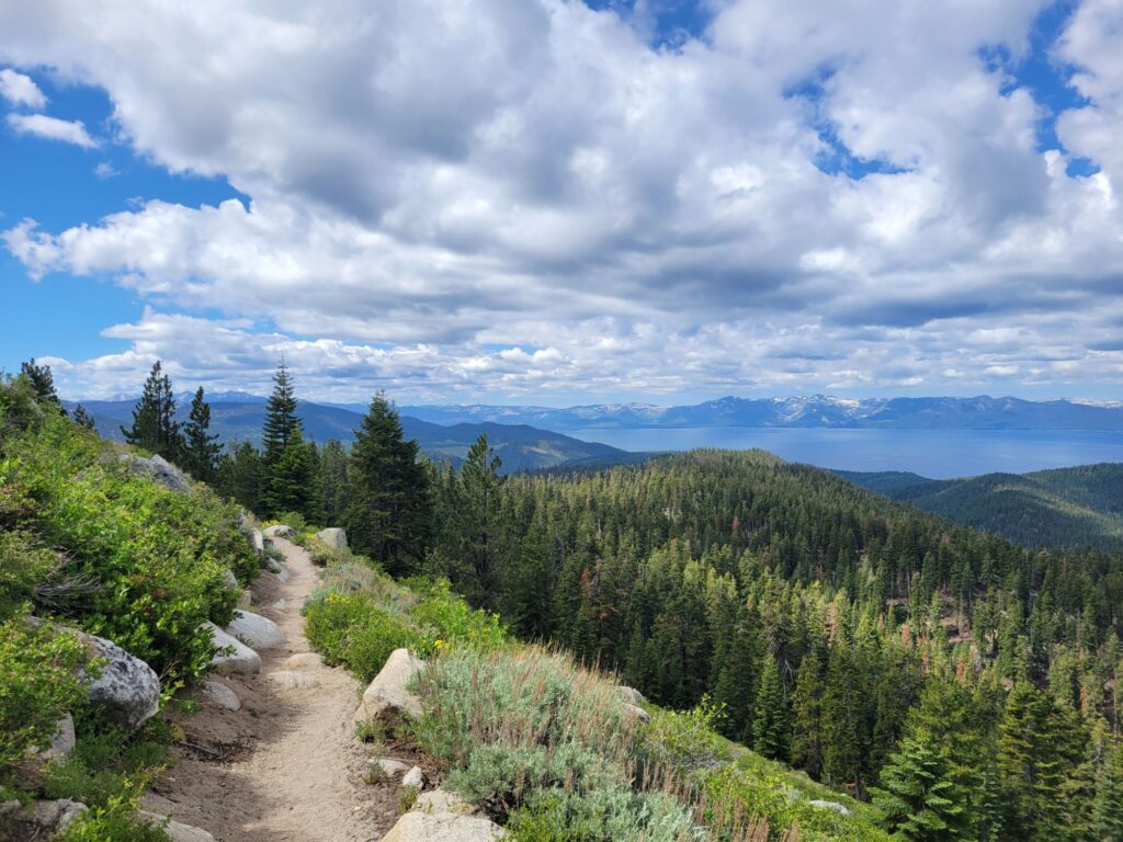
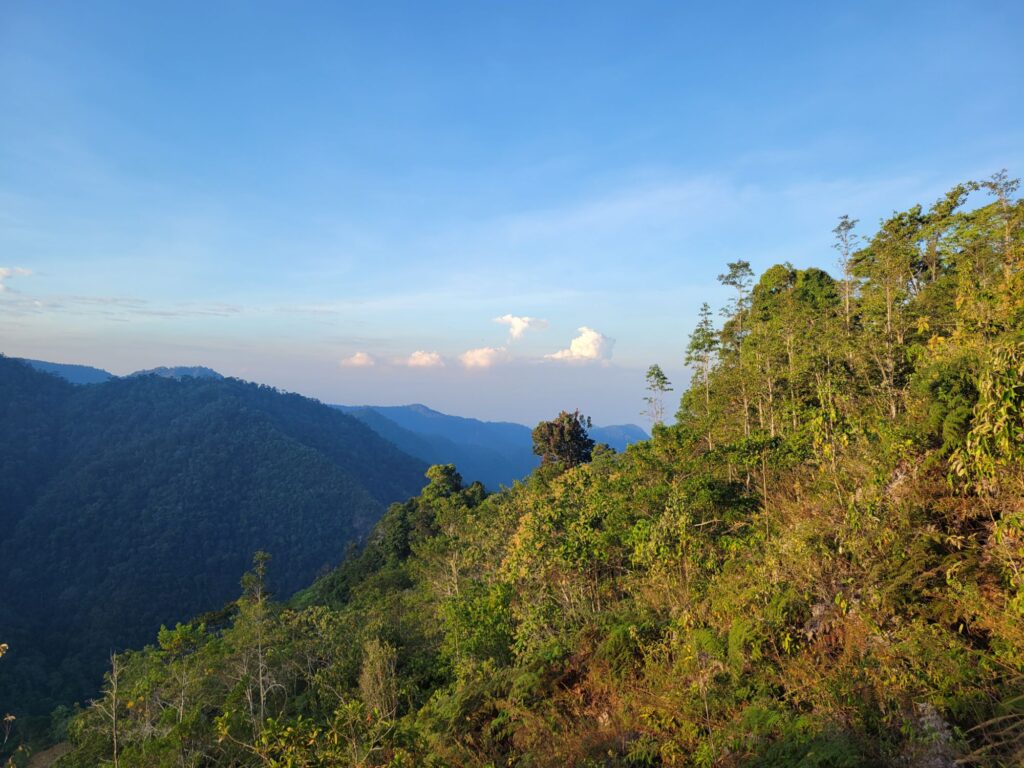
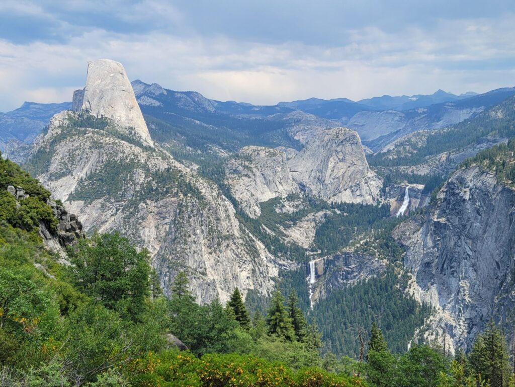
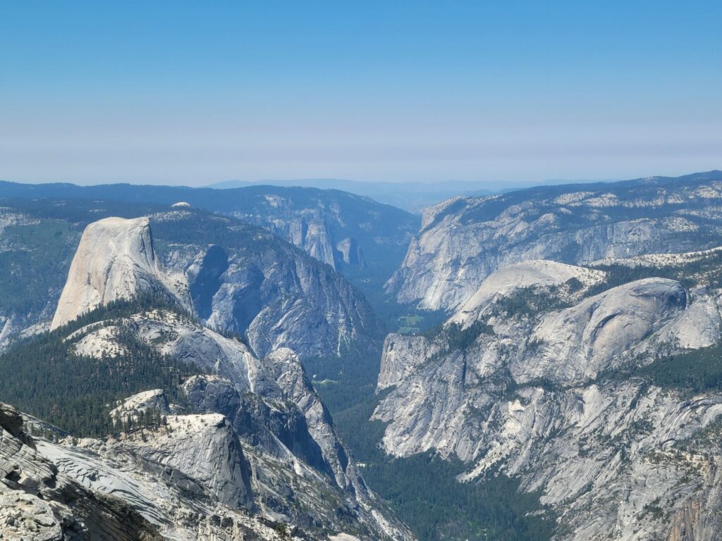
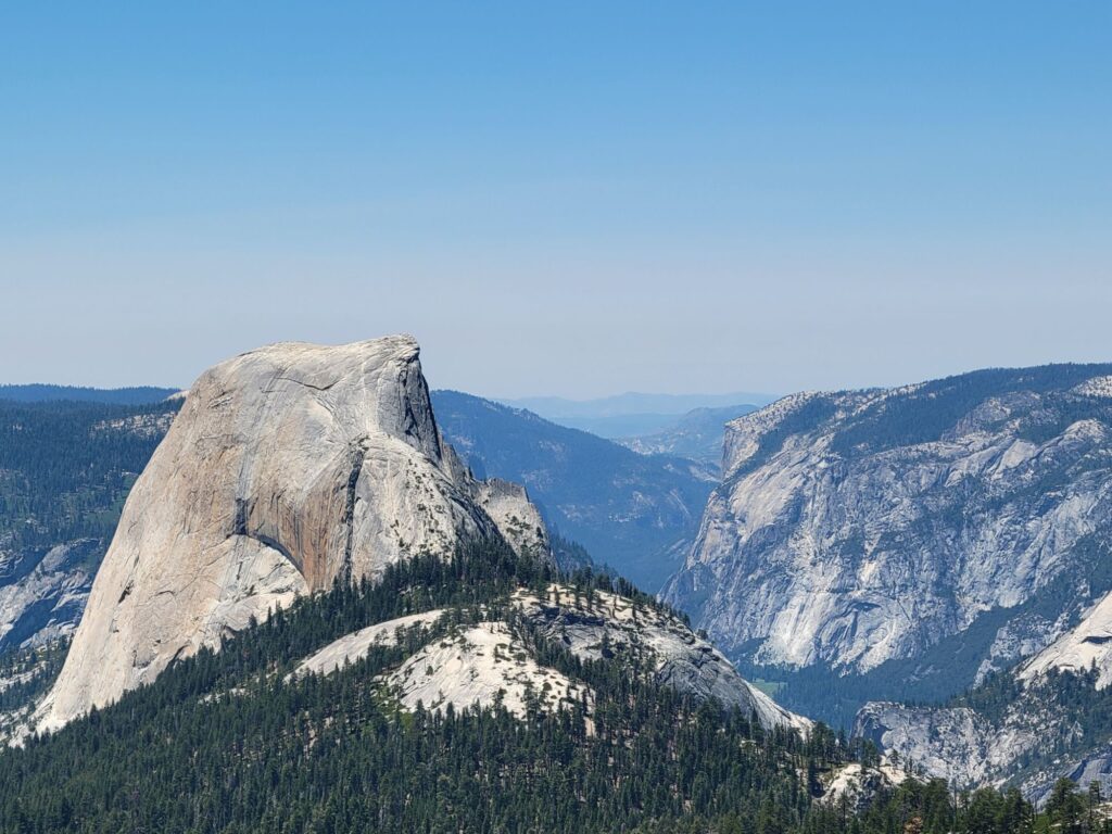
Further South, Clouds Rest (Day 2) offers the best aerial views of the valley, where Half Dome seems to face El Capitán.
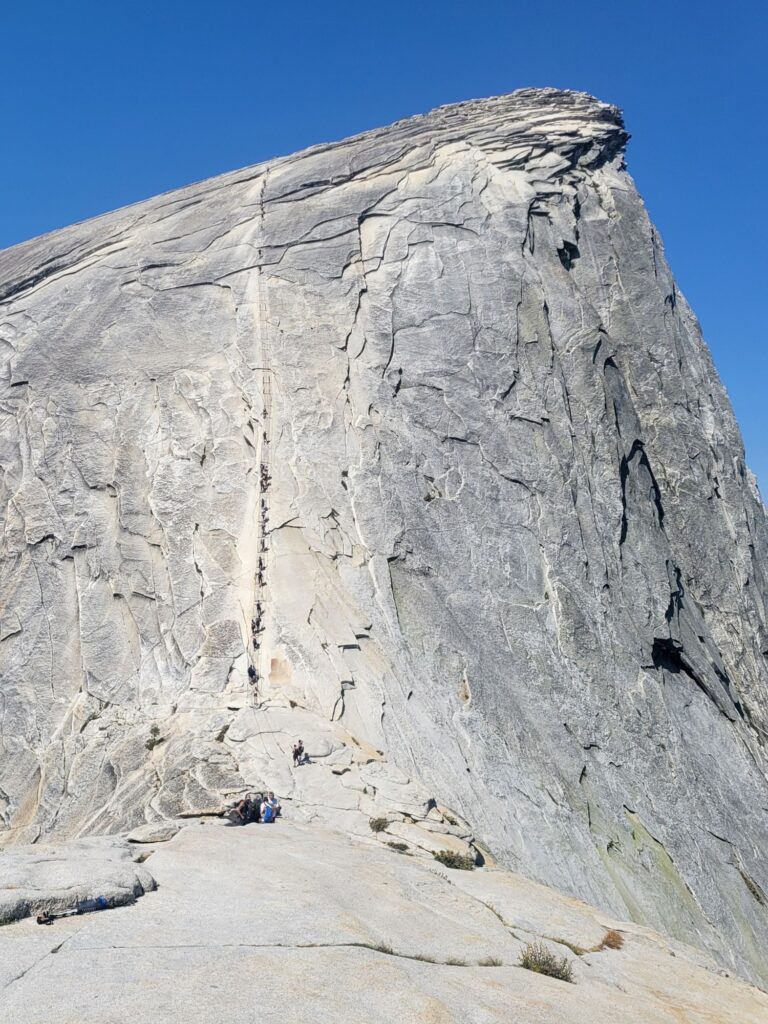
My permit allowed me to hike up Half Dome (Day 3) with the famous cable route. The craziest hike of my life. You have to pull yourself 120 meters up on metal cables at a 45° slope to reach the top. You drop the cable, you die.
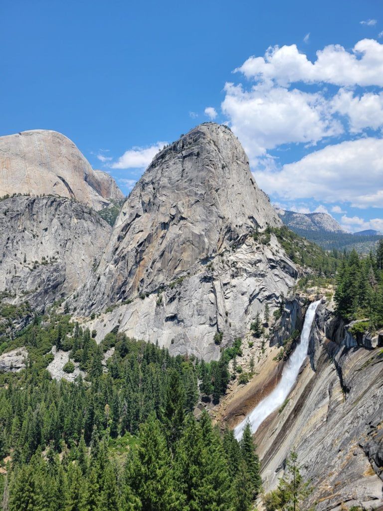
After Half Dome, I had time to get down the first miles of the John Muir Trail with gorgeous views of the Nevada and Vernal Falls and chill out at the Emerald Pool, a huge water hole right between the two. What a combo for a single day!
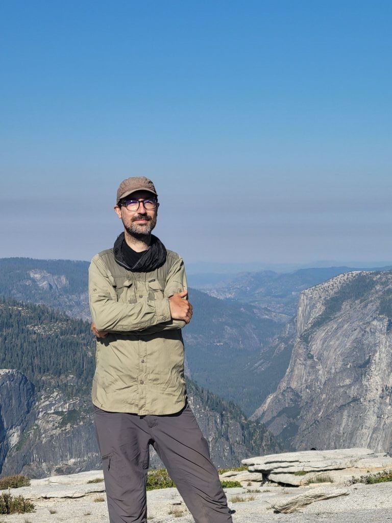

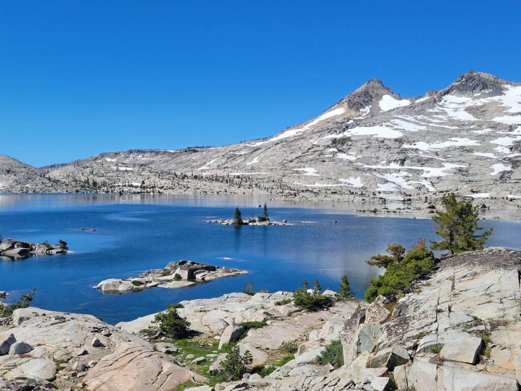
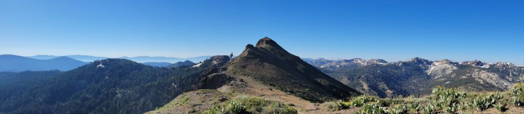
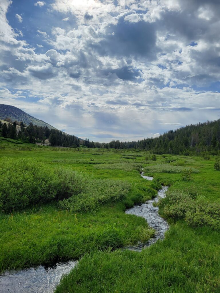
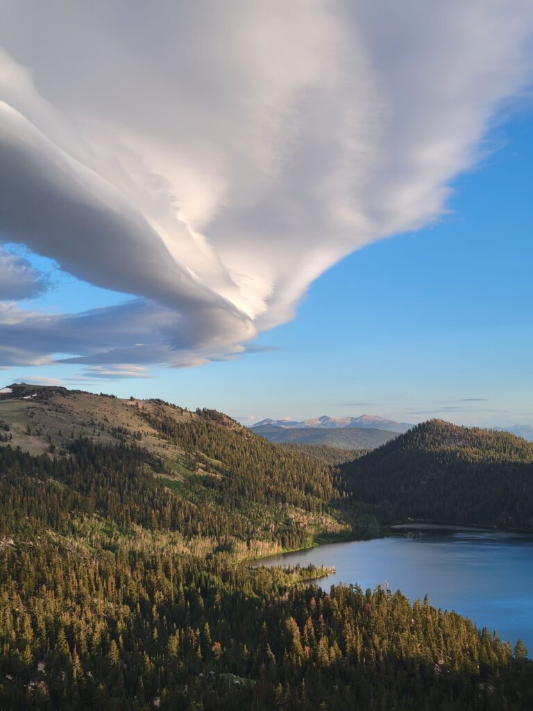
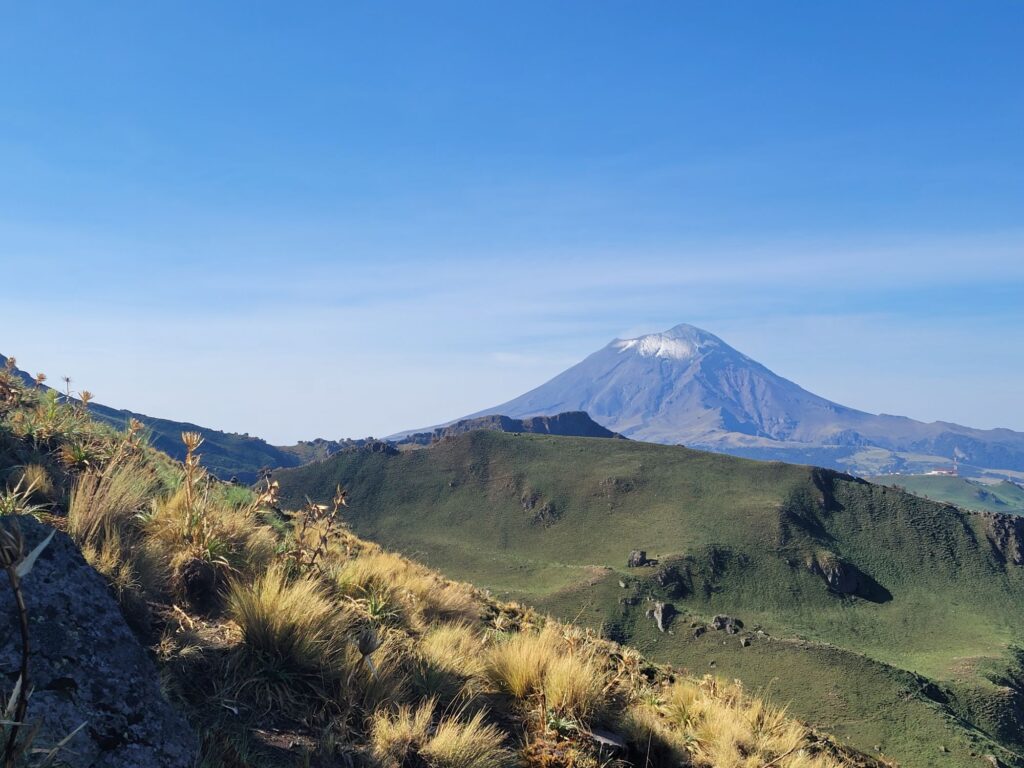
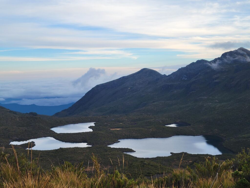
I finished my tour of the valley views reaching Glacier Point on the Panorama Trail (Day 4 and first photo). Then, I left the crowds to spend 11 more days in the backcountry, but that will be in the next episode…
In conclusion, all this famous Yosemite stuff is really worth it. It’s accessible without a car and much planning. Actually, it’s easier to make a last-minute trip to Yosemite if you arrive by bus and are ready to camp and hike a bit.
The backcountry permits are really flexible. There is a daily quota for each trailhead, but usually several options to get to the same places. In practice, only where you camp the first night matters. After that, you are free to roam the 3000 km² of the park as long as you want. I went to get my permit at the Wilderness Center together with 2 PCT hikers who wanted to hike Half Dome. Only 2 other people were in line before 8:00. The PCT hikers got an ideal “walk up” permit (40% of the quota) on the spot.